
Visiting Chiricahua National Park: The Complete Guide
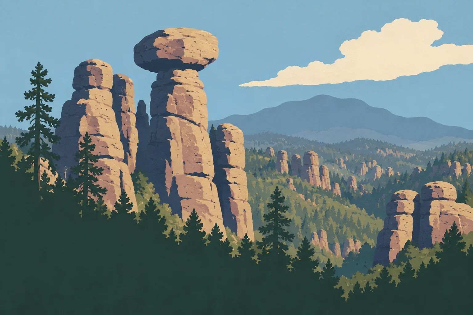
Picture a forest made of stone. Thousands of columns, spires and balanced rocks bristle along the ridgelines of a mountain range in southeastern Arizona. It isn't basalt or sandstone. It's rhyolite tuff, volcanic ash that welded together about 27 million years ago and has been carved by erosion ever since. Around it, there's no uniform desert. Chiricahua is a “sky island,” a mountain range cloaked in pines and oaks that rises out of the arid plains.
The park sits about 45 minutes by road from Willcox, and entry is free. Plan on a half day for the scenic drive, the Massai Point overlook and a short walk. A full day gives you a first visit with a real hike, and two days leave time to hike more without rushing.
The park has one entrance and one road, a dead end. You'll find a visitor center, drinking water and a campground, but no restaurant or gas station. Fill up the tank and stock up on food before you arrive.
Chiricahua at a Glance: Where the Park Is and How to Get There
The park covers part of the Chiricahua Mountains in Cochise County. The range is much larger than the national park, and towns such as Portal, on the east side, aren't part of it.
The most direct paved route starts in Willcox, on Interstate 10. Exit the interstate, follow AZ-186 southeast, then AZ-181 to the entrance, about 36 miles in all. For your GPS, the visitor center address is 13063 E Bonita Canyon Road, Willcox.
Plan on driving. No public transportation serves the park. Cell service is spotty, and the visitor center wifi is slow. Download offline maps before you leave Willcox.
From the Portal side, no direct paved road reaches the park. Pinery Canyon Road is a winding dirt road that's sensitive to both snow and rain. Going around on paved roads is the sensible choice, whatever an optimistic GPS says. For routes from Tucson or New Mexico, see our guide on how to get to Chiricahua.
Entrance Fees, Passes and Reservations
Entry to Chiricahua is free. No pass is required, and there's no timed entry reservation.
Free admission stops at the campground. All 23 sites at Bonita Canyon Campground are reserved through Recreation.gov, and none are assigned on arrival without a reservation. Expect $25 a night for a standard site and $50 for the group site.
Reservations, Permits and Rules to Follow
A day visit requires no reservation. The rules worth knowing mostly concern overnight stays, dogs and food.
Overnight. You can only sleep at the campground, in a reserved site. A suitable vehicle can serve as your bedroom at a standard site, but not at the group site (site 26), which is reserved for tents. Anywhere else in the park, overnight parking, sleeping in your car and camping are prohibited. The road and trails stay open after sunset, though, so you can watch the stars and then head out without camping.
Dogs. Dogs are allowed in the campground and on the lower trails (Bonita Creek, Silver Spur, Faraway Ranch), on a leash no longer than 6 feet, and never left alone or tied up. The upper trails are off limits to them, even if you carry them.
Food and wildlife. Don't feed any animals, birds included, and don't put up a feeder. At the campground, store food, coolers, utensils and trash in the metal food storage lockers provided. No ground fires and no firewood collecting. The raised grill is only for use when current restrictions allow it.
Getting Around Chiricahua
You see Chiricahua by car, then on foot. The backbone of the park is Bonita Canyon Drive, a scenic road of about 8 miles that climbs from the entrance to Massai Point. It's a dead end, so you come back down the same way.
There's no hiker shuttle. Choose loops, or plan on a second vehicle if you're aiming for a one-way trail.
If you're driving an RV, don't mix up two different limits. Beyond the campground, the upper road is limited to 24 feet in length, and trailers are prohibited. The campground accepts up to 29 feet per vehicle or trailer, accessories included, depending on the site and the dip at its entrance. Details are in our guide to RV camping at Chiricahua.
Trailhead parking lots have few spaces. The one at Echo Canyon can fill up in spring, on weekends and on holidays. Parking details are in our guide to getting around the park.
How Long to Spend at Chiricahua
Half a day is enough for the scenic drive, the view from Massai Point, a short walk and a stop at Faraway Ranch on the way down.
A full day is what we recommend for a first visit. It adds the Echo Canyon Loop without shortchanging the overlooks.
Two days make a big difference for hikers. Do the drive and Echo Canyon on day one and Heart of Rocks on day two. A night at the campground or in Willcox also gives you time for the starry sky.
Day-by-day plans are in our 1- or 2-day Chiricahua itineraries, with an optional third day.
Plan your visit
What to See and Do at Chiricahua
The park unfolds from bottom to top, from the entrance at around 5,125 feet to the summit of Sugarloaf Mountain at 7,310 feet. Three levels, three moods. Every activity is gathered in our pick of Chiricahua's top attractions, and the park map helps you place each stop.
Road trip journal · 3 areas
The Lower Park: Bonita Creek, Faraway Ranch and the Visitor Center
This is the gentlest part of the park, at the bottom of the canyon, under the trees. The visitor center and the campground are here. The visitor center is generally open 8:30 a.m. to 4:30 p.m., with exceptions on some holidays. Rangers there can give you trail conditions and the day's alerts.
Faraway Ranch tells the story of the Ericksons, Swedish immigrants who settled here in the late 19th century. Their daughter Lillian and her husband Ed Riggs turned it into a guest ranch, and Ed Riggs laid out a good share of today's trails. But the ranch isn't where the story starts. These mountains are the ancestral homeland of the Chiricahua Apache, who were removed after the Apache Wars and held as prisoners of war until 1913. Their descendants remain tied to this land.
For an easy walk, the Bonita Creek Loop offers about 1,050 feet of paved path, friendly to wheelchairs and strollers.
The Climb: Bonita Canyon Drive
The road winds upward and the scenery changes. The first columns appear on the slopes, and the forest changes species as you gain elevation. Pullouts let you stop without blocking traffic. Take your time. The road is winding, speeds are limited, and Coues deer sometimes cross it.
The High Country: Echo Canyon, Sugarloaf and Massai Point
Massai Point, at the end of the road, gives you the big picture. Columns stretch as far as you can see, the surrounding valleys spread out below and, on clear days, neighboring ranges show on the horizon. A small exhibit building explains the geology. The Massai Point loop is about 2,625 feet long, but it isn't fully accessible. One section of about 525 feet may require motorized assistance for a wheelchair.
Echo Canyon is the park's other face. You're no longer looking at the rocks from a distance. You're walking among them. The short Grottoes option squeezes between boulders over rocky, uneven ground, so leave the stroller in the car.
Sugarloaf Mountain is easy to spot by its fire lookout tower. Here's a small geological curiosity. The summit is dacite, a rock distinct from the rhyolite tuff of the columns.
Explore the park
The Best Hikes in Chiricahua
Short on paper, Chiricahua's trails turn out harder than they look once you factor in elevation, climbs and sun.
- Echo Canyon Loop. Our pick for a first visit, right in the heart of the columns, with a moderate effort. Hike it counterclockwise, so you descend through the rocks and climb back out on a steadier grade.
- Sugarloaf Mountain. A short but sustained climb to a 360-degree panorama. The summit is exposed, so skip it when a storm threatens.
- Natural Bridge. A longer outing away from the overlooks, to a natural bridge you view from a distance.
- Heart of Rocks. The big outing for fit hikers, best saved for a day of its own. Its balanced boulders can only be reached on foot, and starting from Echo Canyon rather than the visitor center makes the effort noticeably easier.
Carry about 1 liter of water per hour of hiking, more in extreme heat, and fill your bottles before you climb. Distances, times and trailheads are in our pick of hikes at Chiricahua. If you're hiking with kids, our guide to Chiricahua with kids sorts walks by age and stamina.
The detailed guide Chiricahua Hikes: The Best Trails by Difficulty and Access Echo Canyon, Heart of Rocks, Sugarloaf Read the guide →Wildlife and Plants to Look For
The range sits where the Rocky Mountains, Mexico's Sierra Madre and the Sonoran and Chihuahuan Deserts meet. Species from all of these worlds live side by side.
Coues deer frequent the road and Silver Spur Meadow. Coatis, active during the day, and collared peccaries (javelinas) roam the lower elevations. In the trees, watch for Mexican jays and acorn woodpeckers. At Massai Point, common ravens play in the wind. Black bears, mountain lions and rattlesnakes also live in the range, generally keeping out of sight. Keep your distance and watch where you put your hands and feet on the rocks.
As for plants, oaks and junipers cover the lower slopes, followed by Apache pines and Chihuahua pines, with Arizona cypress in the cooler canyons. At night, look up. Chiricahua has been recognized as an International Dark Sky Park since 2021. Our guide to Chiricahua's wildlife covers species, places to look and good habits.
The detailed guide Wildlife at Chiricahua: What to See and Where to Find It Coues deer, coatis, javelinas, acorn woodpeckers Read the guide →When to Visit Chiricahua
For hiking, we recommend spring and fall. October makes a good compromise, while September still falls in monsoon season.
In summer, elevation protects you from neither sun nor dehydration. From June 15 to September 30, the monsoon brings violent thunderstorms, lightning and flash floods, sometimes even on the access roads. Start early, leave yourself room to retreat and get off the ridges as soon as the sky darkens. Never cross a flooded roadway.
In winter, lows often fall to around 32 °F or below. Snow and ice can make the upper road and the trails tricky, especially from January to March. In any season, bring layers, because the high country can be cooler and windier than the entrance. Our page on when to visit Chiricahua helps you choose based on your situation.
The detailed guide Best Time to Visit Chiricahua: Weather by Season Hike in spring or October, expect monsoon storms from June to September and… Read the guide →Where to Stay at Chiricahua
In the park, Bonita Canyon Campground is the only option. There's no hotel or lodge within its boundaries. Reserve early, especially for holidays and from January to April. Amenities are basic. You'll find drinking water at spigots and restrooms, but no showers, hookups or dump station. Some sites may close during the monsoon when flooding is a risk. Our guide to camping at Chiricahua covers reservations and sites.
In Willcox, about 45 minutes from the park, the Arizona Sunset Inn and the Holiday Inn Express & Suites are among the options. It's the practical base for most visitors, with a grocery store and gas stations close by.
Portal also has a few places to stay, but they're more than an hour's drive away, and Tucson works better as a stop at the start or end of a trip if you're flying. To compare these bases, see where to stay near Chiricahua.
Stay in the park
Where to Eat and Picnic at Chiricahua
There's no restaurant or grocery store in the park. Shop in Willcox, which has a full grocery store and restaurants. Don't rely on the park store to resupply.
For a break, the Bonita Creek picnic area has accessible vault toilets nearby, and Massai Point has an accessible table near the parking lot. Fill your bottles at the campground, since the Echo Canyon parking lot has no water.
Don't feed the animals, close up the cooler and pack out all your trash.
Around Chiricahua: What to Do Nearby
Fort Bowie National Historic Site, north of the park, preserves the ruins of a fort tied to the Apache Wars and is reached by a trail. Portal and Cave Creek Canyon, on the other side of the range, draw birders, so plan them as a stop in their own right. Tombstone and Bisbee add a taste of the mining West, while Tucson and Saguaro National Park round out a southern Arizona road trip.
Our Take: Is Chiricahua Worth the Trip?
Yes, if you like landscapes that take a little effort. Chiricahua means a detour off I-10, a picnic in the trunk and a full tank before you arrive. In return, you get a forest of volcanic columns in the middle of a wooded mountain range, to admire from the road or explore on foot.
Formerly a National Monument, Chiricahua was designated a national park in 2026, becoming the 64th national park in the United States and the fourth in Arizona. Its boundaries haven't changed. It's the same land under a new designation.
Frequently Asked Questions
How Long Do You Need to Visit Chiricahua?
A full day suits a first visit, with the Echo Canyon Loop. Half a day is enough for the road and a short walk, and two days let you add Heart of Rocks.
Does It Cost Anything to Enter Chiricahua?
No. Entry is free and no pass is required. Only the campground costs money.
Can You Visit Chiricahua by Car?
Yes. Bonita Canyon Drive climbs to Massai Point, and you come back down the same way. Beyond the campground, the limit is 24 feet, with no trailers.
When Is the Best Time to Hike Chiricahua?
Spring and fall. Summer brings monsoon thunderstorms, and winter can make the road and trails slippery.
Is There a Shuttle at Chiricahua?
No. Choose a loop or plan on a second vehicle for a one-way trail.
Can You Stay in the Park at Night?
You can be in the park after dark to stargaze, as long as you leave afterward. To sleep, you need a reserved campground site, and a suitable vehicle is only allowed at a standard site.
Can You Hike with a Dog at Chiricahua?
Only in the campground and on the lower trails, on a leash. Echo Canyon, Massai Point, Sugarloaf, Natural Bridge and Heart of Rocks are off limits to dogs, even if carried.
Latest park news
- Chiricahua: Plan Your Route Around Your Vehicle’s LengthAt Chiricahua, your vehicle’s length and whether you’re towing a trailer determine where you can go, so check the restrictions before you head in.
- It’s official: Chiricahua becomes America’s 64th national parkThe law signed on October 20, 2026 changes Chiricahua’s designation, not its boundaries. How the proposal became law, and what the new status means.