
Getting Around Chiricahua: The Road, Parking, Vehicles, and Accessibility
Chiricahua has just one road. You enter through Bonita Canyon, climb toward the ridgelines, and come back down the same way. Logistics come down to three things: very small parking areas, a strict length limit beyond the campground, and no shuttle for hikers.
Driving is the practical way to get around, and a standard vehicle will do. The paved road runs from the entrance to Massai Point, about 8 miles uphill, and dead-ends there. Beyond the campground, the limit is 24 feet with no trailers. There's no shuttle and no taxi. For getting to the entrance (airports, approach roads, GPS address), see our guide to getting to Chiricahua.
The Park Road, From the Entrance to Massai Point
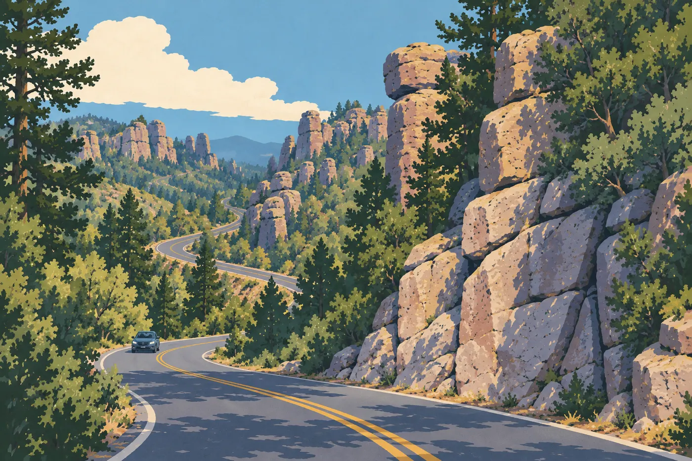
From the entrance, the road passes the Bonita Creek parking area on the left, then serves Faraway Ranch, the visitor center, and Bonita Canyon Campground. It then climbs toward the ridgelines, past the Organ Pipe formation and four other pullouts, which are easier to use on the way down. The Natural Bridge trailhead sits higher up, with only three spaces. At the very top, a fork leads right to Echo Canyon and Sugarloaf, and straight ahead to Massai Point. The road doesn't go anywhere else, and there's no exit to Portal.
Distances are short. The visitor center is 2 miles from the entrance, and it's about 6 more miles to Massai Point. That makes roughly 8 miles each way and 16 miles round-trip. The road is narrow, winding, and uphill the whole way, with low branches and small parking areas. Drive slowly, stop only in designated areas, and build in a cushion rather than trusting a tightly calculated drive time.
The entrance sits at 5,125 feet, and Sugarloaf Mountain tops out at 7,310 feet. The upper park can run about 5 to 11°F cooler than the visitor center, with more wind. Snow and ice can make the upper section impassable while the approach roads are clear, and the monsoon, from mid-June to late September, can cause occasional closures. Our Chiricahua weather guide covers seasonal trends.
The entrance station is often unstaffed since entry is free, so the key information is posted in the window. The visitor center is open from 8:30 a.m. to 4:30 p.m., with exceptions on some holidays.
Getting Around the Park
By Car
A standard passenger car is all you need. Group your activities by elevation, with the lower park on one trip and the ridgelines on another, to cut down on trips up and down the road. Our Chiricahua itineraries lay out sample days.
No Shuttle, So Plan Your Ride Back From Hikes
No hiker shuttle is running. Some older trail handouts still mention an early-morning departure from the visitor center, but that information is out of date.
Loops and out-and-back hikes are fully self-contained. A point-to-point hike, such as descending from the ridgelines to the visitor center, needs a ride arranged in advance, either two cars or a driver who picks you up at an agreed time. Pick the meeting point with the small parking areas in mind, and don't count on cell service to improvise. The write-ups in our hike selection spell out the start and finish of each outing.
By Bike
Bicycles, electric or not, are prohibited on all trails. They can only use the pavement, which they share with cars, on a narrow, winding road with no bike lane, so don't think of it as a safe cycling route. Don't count on finding a bike rental on site. Driving remains our recommendation.
On Foot
Once you've parked, everything is on foot. The terrain around Faraway Ranch and Bonita Creek is the easiest. The trails up high have steps, narrow passages, and steep terrain.
Where to Park: Six Parking Areas With 3 to 25 Spaces
| Parking area | Spaces | Access to |
|---|---|---|
| Visitor center | 25 | Museum, film, and store |
| Massai Point | 25 | Viewpoint, Nature Trail, picnic tables, trail network |
| Echo Canyon | 19 | Echo Canyon trails |
| Sugarloaf | 17 | Sugarloaf Mountain Trail, picnic table, vault toilets |
| Bonita Creek | 9 | Bonita Creek Loop, picnic area, vault toilets |
| Natural Bridge | 3 | Natural Bridge Trail |
These numbers are reference capacities, not real-time availability. None of these parking areas has oversized spaces, and none allows trailers, camping, or overnight parking. At the visitor center, the signs mention 29 feet, but the spaces are designed for cars without trailers, so a large RV isn't guaranteed to be able to maneuver there. At Natural Bridge, park at an angle to leave room for other vehicles.
When a Parking Area Is Full
Echo Canyon fills up easily from February through April and on holiday weekends. The park then suggests starting from Massai Point or Sugarloaf. A different starting point does change the distance, elevation gain, and route, though, so recalculate your outing before you head out. Busy periods are covered in our guide to choosing when to visit. If the three spaces at Natural Bridge are taken, pick another trail rather than parking outside the designated areas.
When the visitor center lot is full, the park points to overflow parking along Rhyolite Creek Road. Pull over on the right side of the gravel so others can get by. A few spots let a standard vehicle turn around, but the road has a pronounced dip and no turnaround space suited to large vehicles or trailers. That makes it a poor choice for an oversized vehicle or a trailer. Follow the signs and don't create makeshift spaces.
Sleeping in Your Vehicle and Stargazing
Overnight parking, sleeping, and camping in the parking areas are prohibited. Sleeping in a vehicle is allowed only on a reserved standard site at Bonita Canyon Campground, if the vehicle fits the site, and never at the group site. The road and trails remain open for sunrise, sunset, and night sky viewing, so you can come stargaze and then head back without camping.
RVs, Vans, and Trailers
Two separate limits apply. At the campground it's 29 feet per unit, and beyond the campground it's 24 feet for the vehicle, with no trailers.
At the campground, each vehicle or trailer can be up to 29 feet, accessories included. That limit applies to each unit, not the combination, and the tow vehicle and trailer must also fit together on the reserved site's spur. Crossing a dip on the access lane can make a vehicle with a long rear overhang scrape, even under 29 feet. If yours is borderline, call the park before you reserve.
Beyond the campground, the upper road is limited to 24 feet and closed to trailers. A vehicle over 24 feet can't go up, even if it was able to enter the campground. The narrow road and small parking areas make the climb hard for tall or wide vehicles.
Day visitors towing a trailer must unhitch it at Faraway Ranch, since there's no turnaround area for trailers and large RVs higher up. Vehicles over 29 feet stop there. Campers whose trailers meet the limits go straight to their reserved site without passing through the visitor parking areas.
To see the ridgelines from a large RV, plan on a second vehicle of 24 feet or less. The campground has no typical hookups and no dump station. Our guide to RV camping at Chiricahua covers how to be self-sufficient and what to do as a backup.
Accessibility and Reduced Mobility
- Bonita Creek Loop. The paved loop of about 1,050 feet is the only trail in the park suited to all mobility devices. The nearby picnic area is accessible, with a hardened path to accessible vault toilets.
- Faraway Ranch. The grounds generally suit most mobility devices, though not every path is guaranteed.
- Massai Point. Only a section of about 525 feet of the Nature Trail may be accessible, possibly with motorized assistance. The rest of the loop isn't suitable. An accessible picnic table is near the parking area.
- Other trails. Big steps, narrow passages, and steep elevation change make them unsuitable for most mobility devices. Neither wheelchairs nor strollers are guaranteed.
- Visitor center. The building and nearby restrooms are accessible, but the doors don't have automatic openers.
- Parking. Accessible spaces exist at the five other parking areas, but Natural Bridge has none. An accessible space doesn't make the trail itself accessible.
- Campground. Site 8 is the accessible site at Bonita Canyon. Its electricity is reserved for medical or accessibility needs.
To request an accommodation or an adapted program, contact the park at least 14 days before your visit at (520) 824-3560 (staffed from 8:30 a.m. to 4:30 p.m.). That notice period doesn't count as an entry reservation. If you're visiting with young children or a stroller, our Chiricahua with kids guide covers realistic outings.
Dogs, Fuel, and Cell Service
Dogs are prohibited on the trails up high, even if carried. Don't leave them alone in the car while you hike, because heat builds fast in a closed cabin, even at elevation.
Fill up or recharge before you leave Interstate 10 for AZ-186, since there's no gas station or charging station in the park. Cell service is spotty, Wi-Fi is slow near the visitor center, and the campground has none. Download the offline map and your reservation confirmations, and check road conditions on the park's website while you have a signal. Clear approach roads don't prove the upper road is open.
There's no water at the Echo Canyon parking area, so start out with your own supply. As a rule of thumb, figure about 1 liter per hour of hiking, and adjust for heat. The Chiricahua map shows each parking area, and the complete Chiricahua guide covers the rest of your prep.
Frequently Asked Questions
How do you get around Chiricahua?
You get around Chiricahua by car on a paved dead-end road of about 8 miles, then on foot from the parking areas. No hiker shuttle is running.
Can you visit Chiricahua by bike?
Bikes are prohibited on all trails and can only use the pavement, which is narrow, winding, and shared with cars. Driving is the recommended way to get around.
Where do you park at Chiricahua?
There are six small parking areas with 3 to 25 spaces each. The visitor center and Massai Point have 25, Echo Canyon has 19, Sugarloaf has 17, Bonita Creek has 9, and Natural Bridge has 3. Overnight parking is prohibited.
What if the Echo Canyon parking area is full?
Start from Massai Point or Sugarloaf, but recalculate the distance and elevation gain, since the route changes with the starting point. Don't park outside the designated areas.
How do you arrange the ride back after a point-to-point hike?
Set it up before you leave, with two cars or a driver who picks you up at an agreed time. There's no shuttle, taxi, or rideshare, and cell service won't let you improvise.
Can an RV go up to Massai Point?
No, not if it's over 24 feet or towing a trailer. The campground accepts up to 29 feet per unit, but that doesn't open up the upper road.
Can you sleep in your vehicle at Chiricahua?
Yes, but only on a reserved standard site at Bonita Canyon, if the vehicle fits the site. It's prohibited at the group site and in the parking areas. You can, however, stargaze and then leave without camping.
Which trails are accessible by wheelchair or stroller?
Bonita Creek Loop, paved for about 1,050 feet, is the only trail suited to all mobility devices. The grounds around Faraway Ranch generally suit most of them. At Massai Point, only a section of about 525 feet may be accessible, possibly with motorized assistance.
Is there cell service in the park?
Cell service is spotty in the park, and Wi-Fi is slow near the visitor center. Download maps and confirmations before you go.