
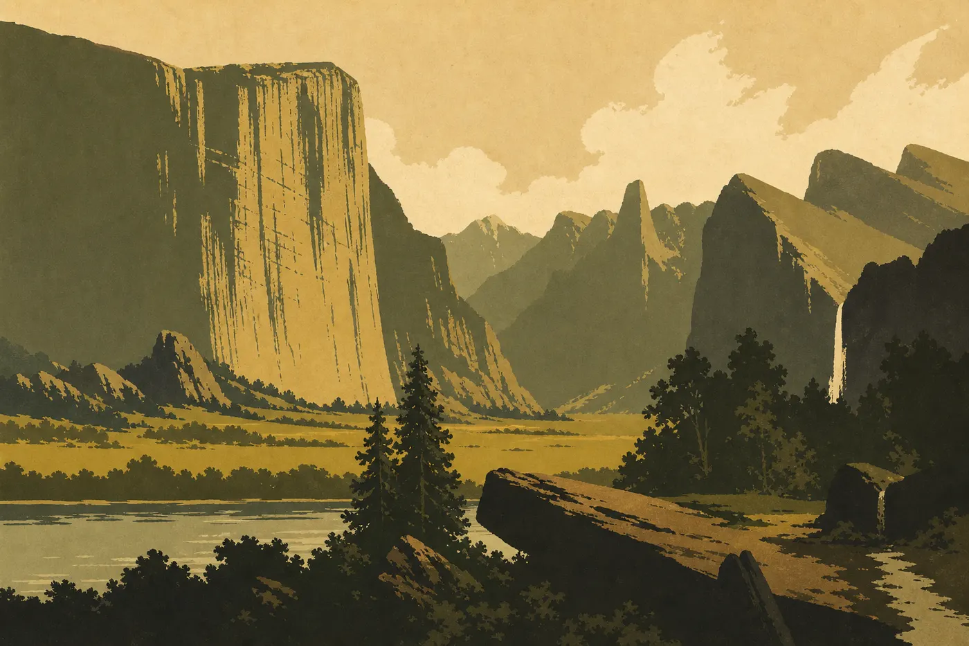
Yosemite Itinerary: What to See in 1, 2, or 3 Days
Yosemite National Park covers 1,200 square miles in California's Sierra Nevada, with elevations rising from 2,000 feet in the valley floor to 13,100 feet at the summits. The good news is that the most spectacular sights are packed into a reasonably compact area. In two full days, you'll see the essentials. In three days, you'll leave the valley and head up to explore Glacier Point, Mariposa Grove, or Tioga Road. The rest is what we call a reason to come back.
The quick answer: plan on at least two nights. Yosemite Valley takes up your entire first day. On day two, choose a secondary area based on the season (Glacier Point to the south or Tioga Road to the northeast). Three days let you cover both. Our complete Yosemite guide gives you the big picture if this is your first visit.
How Much Time Do You Need to Visit Yosemite?
There is no single answer, but a few solid guidelines will help.
1 day: doable if you arrive before 8 a.m. and stay in the valley. You'll see El Capitan, Yosemite Falls, Bridalveil Fall, the view from Tunnel View, and Half Dome from Valley View. You'll head home full of granite and with a list of ideas for next time.
2 days: the ideal format for a first visit. Spend day one in the valley, then visit Glacier Point and Mariposa Grove on day two. You'll leave feeling like you've truly discovered the park.
3 days: comfortable and recommended if you're visiting in summer, when Tioga Road is passable (generally from June through November). Add the drive across to Tuolumne Meadows and Tioga Pass, at 9,945 feet.
Beyond that: serious hikers can spend a full week here between Half Dome (a permit is required), the John Muir Trail, and backcountry camping. For a first look at the park, two to three days are more than enough.
One useful detail: the park is open 24 hours a day, 365 days a year. You set your own pace.
Access, Entrances, and Getting Around the Park
You can reach Yosemite by three roads from the west.
Highway 41 from Fresno and Los Angeles: the south entrance, leading directly to Mariposa Grove and Wawona Road.
Highway 140 from Merced: the southwest entrance through Arch Rock Entrance, the most direct route to the valley and the least likely to close in winter.
Highway 120 from Manteca: the northwest entrance through Big Oak Flat Entrance, a good option if you're coming from the Bay Area.
From the east, Highway 120 (Tioga Pass Entrance) offers a spectacular approach as it crosses the pass at 9,945 feet. But it stays closed from around November through late May or early June, depending on snowpack. If you're planning a spring visit, check its status before building your itinerary.
Getting around the park: in the valley, free shuttles (Valley Shuttle) serve the main sights between the Visitor Center, Yosemite Village, Camp 4, and Mirror Lake. It's convenient and saves you from the parking headache, which is very real in peak season. Outside the valley, you'll need a car. Speed limits of 45 mph or less apply throughout the park. Follow them—wildlife can cross at any time. Our Getting Around page covers seasonal shuttles, bus options from San Francisco and Fresno, and winter driving rules.
Entry reservations: during peak season (usually April through September), some years have brought a day-use reservation system through recreation.gov. Showing up without a reservation when the quota is full means turning around after a three-hour drive. Check the current situation before you leave.
Fees: $35 per private vehicle, $20 per person on foot or by bike. The $80 America the Beautiful pass covers all U.S. national parks and pays for itself on the second visit. For entrance fees and annual passes, see the National Parks Fees & Passes page.
Yosemite's Main Areas
Four areas shape a visit to the park, from the valley floor to the alpine meadows.
Yosemite Valley (Yosemite Valley)
This is the heart of the park and the essential starting point. The glacial valley is about 7 miles long and 1 mile wide, framed by granite cliffs that rise more than 3,000 feet above the valley floor. Here you'll find El Capitan (a 3,000-foot granite monolith that fascinates climbers from around the world), Half Dome (the emblematic dome sliced cleanly in half), Yosemite Falls (among the tallest waterfalls in North America), Bridalveil Fall, and the classic view at Tunnel View as you emerge from the Wawona Tunnel. The valley also holds most of the park's lodging, restaurants, and services.
The South: Glacier Point and Mariposa Grove
About 19 miles from the valley, Glacier Point offers an overlook 3,500 feet above the valley floor, with Half Dome directly across from you and the Sierra peaks in the background. It's one of the park's most striking photographic viewpoints.
Mariposa Grove, at the park's southern end, is home to more than 500 giant sequoias. Grizzly Giant is one of the grove's oldest trees, estimated to be more than 2,700 years old. It's a quiet visit that's often underrated compared with the valley.
Tioga Road and Tuolumne Meadows
Highway 120 (the east side, closed in winter) crosses the park from west to east for 35 miles through the high country of the Sierra Nevada. It's another world: open alpine landscapes, glacial lakes (Tenaya Lake), the overlook at Olmsted Point, and the broad meadows of Tuolumne Meadows at 8,600 feet. The road reaches Tioga Pass (9,945 feet), the eastern exit toward the Mono Lake desert.
Hetch Hetchy
In the western part of the park, Hetch Hetchy is the least-visited area. It's a valley flooded in the 20th century by O'Shaughnessy Dam, which supplies San Francisco with water. The waterfalls are impressive early in the season, and the trails are nearly empty compared with the valley. The area is open only from sunrise to sunset.
Day-by-Day Itinerary
Day 1: Yosemite Valley's Icons
Get an early start. Morning light on El Capitan from Valley View is one of the park's most photographed scenes, and parking lots fill quickly in summer.
Morning: follow Northside Drive along the Merced River to Valley View (your first look at El Capitan). Make Bridalveil Fall your first official stop, a short quarter-mile walk from the parking area. Continue to Yosemite Village to pick up a paper map at the Visitor Center, then hop on the shuttle.
Midday: take the Yosemite Falls Trail (lower section) to see the waterfall from its base, a 0.5-mile round-trip. If your legs are up for it, the easy 5-mile Mirror Lake loop in the valley's eastern arm offers a perfect reflection of Half Dome in the early morning or late afternoon.
Afternoon: drive back up to Tunnel View, the classic panorama: El Capitan on the left, Half Dome in the distance, and Bridalveil Fall on the right. Finish at Happy Isles to watch the Merced River and locate the start of the Mist Trail for the next day.
Evening: have dinner in Yosemite Village or Curry Village. On our last visit in October, the light on El Capitan at dusk alone made the detour to Valley View Road worthwhile.
Day 2: Glacier Point and Mariposa Grove (South Option)
Morning: take Glacier Point Road (generally open from May through November) and reach the overlook before 9:30 a.m. The sweeping view down into the valley, Nevada Fall, and Half Dome is unmatched in the park. After 10 a.m., tour buses arrive in droves.
Midday: head back down toward Wawona, the park's historic area, with the Pioneer Yosemite History Center. Bring a picnic prepared the night before or grab a quick meal at the Wawona Hotel.
Afternoon: visit Mariposa Grove at the southern end of the park. In peak season, a shuttle from the dedicated parking area is required. The walk to Grizzly Giant is a 2-mile round-trip over flat terrain and works for everyone.
Evening: return to the valley or spend the night in Wawona, depending on your lodging.
Day 3: Tioga Road and Tuolumne Meadows (Summer Only)
This plan assumes Tioga Road is open. Aim for a visit between June and October.
Morning: take Big Oak Flat Road, then turn onto Tioga Road (eastbound Highway 120). First stop: Tuolumne Grove, a small stand of giant sequoias reached by a 1-mile round-trip from the parking area. Continue to Olmsted Point, an overlook of granite domes with an unusual view of Half Dome from behind.
Midday: Tenaya Lake, a glacial lake at 8,150 feet. Wade into its roughly 59°F water, picnic on rocks polished by glaciers, and watch marmots that aren't afraid of anything.
Afternoon: Tuolumne Meadows, the heart of the high country. The trail to Lembert Dome (2.2 miles round-trip, 875 feet of elevation gain) offers a 360-degree panorama of the alpine meadows and Sierra ranges. Crowds here are nothing like those in the valley.
Late afternoon: climb to Tioga Pass (9,945 feet), the highest point on the road. Take a photo by the park's east entrance sign, then return to the valley or exit toward Lee Vining and Mono Lake, depending on your route.
Alternatives Based on Your Time
Express: 1 Day
Focus exclusively on Yosemite Valley: Tunnel View, Valley View, Bridalveil Fall, Yosemite Falls (lower viewpoint), and Mirror Lake. Avoid a July weekend without a confirmed entry reservation. Otherwise, you'll spend the morning in a line of cars at the entrance. Our When to Go page can help you choose the best window for your schedule.
Classic: 2 to 3 Days
Days 1 and 2 as described above. Add day 3 if Tioga Road is passable and your legs can handle the pace.
Regional Road Trip: 5 Days or More
Yosemite fits naturally into a broader California itinerary: San Francisco (a 3-hour drive) to the northwest, and Sequoia and Kings Canyon National Parks to the southeast (about 2.5 hours). Our Road Trip guides offer itineraries built around the park, with variations based on your starting point and total trip length.
Itinerary Map
The NPS publishes an official Unigrid map, available free at the entrance station or as a download from the NPS website. It shows roads, shuttles, campgrounds, trails, and points of interest with enough detail to plan your days. Our Map page offers an annotated overview with this itinerary's stops.
Practical tip: download the map and offline data in your navigation app before entering the park. Cell service is limited in the valley and nearly nonexistent along Tioga Road.
Where to Stay Along the Itinerary
Yosemite lodging must be booked months in advance, especially campgrounds (up to five months ahead on recreation.gov for the most popular sites). Inside the park, options include Curry Village (tents and cabins), Yosemite Valley Lodge, the Ahwahnee Hotel (upscale), and a dozen campgrounds, including Housekeeping Camp. Outside the park, Mariposa, El Portal, and Lee Vining (on the east side) offer cheaper, more available alternatives.
Our Where to Stay guide covers all the options and the booking windows to keep in mind. Our Camping page covers the park's campgrounds and their specific reservation rules.
Extend Your Trip: What to See Around Yosemite
To the east, Mono Lake (outside the park) is worth a two-hour stop if you're leaving via Tioga Pass: its tower-shaped limestone formations (tufa towers) are unique on the continent. To the southeast, Sequoia and Kings Canyon National Parks make a logical addition for anyone who wants to see the world's largest sequoias in a wilder setting than Mariposa Grove. To the northwest, the route to San Francisco via Highway 120 and Highway 99 follows California's Central Valley.
For multi-park trips from Yosemite to the coast or the Grand Canyon, our Regions guides and Road Trip guides offer itineraries organized by trip length and starting point.
The Ideal Itinerary for Your Time
| Time available | Recommended plan |
|---|---|
| 1 day | Yosemite Valley only: Tunnel View, Valley View, Bridalveil Fall, Yosemite Falls, Mirror Lake |
| 2 days | Day 1: full valley. Day 2: Glacier Point and Mariposa Grove |
| 3 days | Days 1 and 2, plus Tioga Road and Tuolumne Meadows (if open) or Hetch Hetchy |
| 4 days or more | Add challenging hikes: Mist Trail to Nevada Fall, Half Dome (permit required), and Tuolumne trails |
The golden rule is to book before you leave, arrive before 8 a.m., and accept that Yosemite is always a little too big for everything you want to do there. That's exactly why we keep coming back.
Frequently Asked Questions
How much time do you need to visit Yosemite?
How long you need to visit Yosemite depends on your goals: 1 day covers the valley icons, 2 to 3 days allow for a complete visit including Glacier Point and Tioga Road, and a week is enough to explore the park in depth with serious hiking.
Which road crosses Yosemite?
The road that crosses Yosemite from west to east is Highway 120 (Tioga Road). It enters through Big Oak Flat Entrance in the west and exits at Tioga Pass (9,945 feet) in the east, toward Lee Vining and Mono Lake. It is closed from around November through late May or early June. Highways 41 and 140 enter the park from the south and southwest, but they do not cross it from end to end.
What is the best viewpoint in Yosemite?
The best viewpoint in Yosemite is a matter of taste, but three spots are universally popular: Tunnel View (the valley entrance panorama of El Capitan, Half Dome, and Bridalveil Fall), Glacier Point (the valley 3,500 feet below), and Valley View (El Capitan reflected in the Merced River). Our Things to Do page lists viewpoints along with recommended times for the best light.
When is the best time to visit Yosemite?
The best time to visit Yosemite depends on your priorities: May and June for full-flowing waterfalls and lighter crowds, July and August for Tioga Road open and high-elevation hikes, and October for fall color and thinning crowds. Winter offers a special atmosphere but limited access. Our When to Go page compares each season in detail.
Is Yosemite worth visiting?
Yes, Yosemite is worth it. No other place in North America matches its concentration of spectacular geological formations in an accessible area. Peak-season crowds are real, but solid planning (arriving early, having a confirmed reservation, and using the valley shuttle) makes them largely manageable.