
Colorado Rockies Road Trip: A Four-Park Loop from Denver
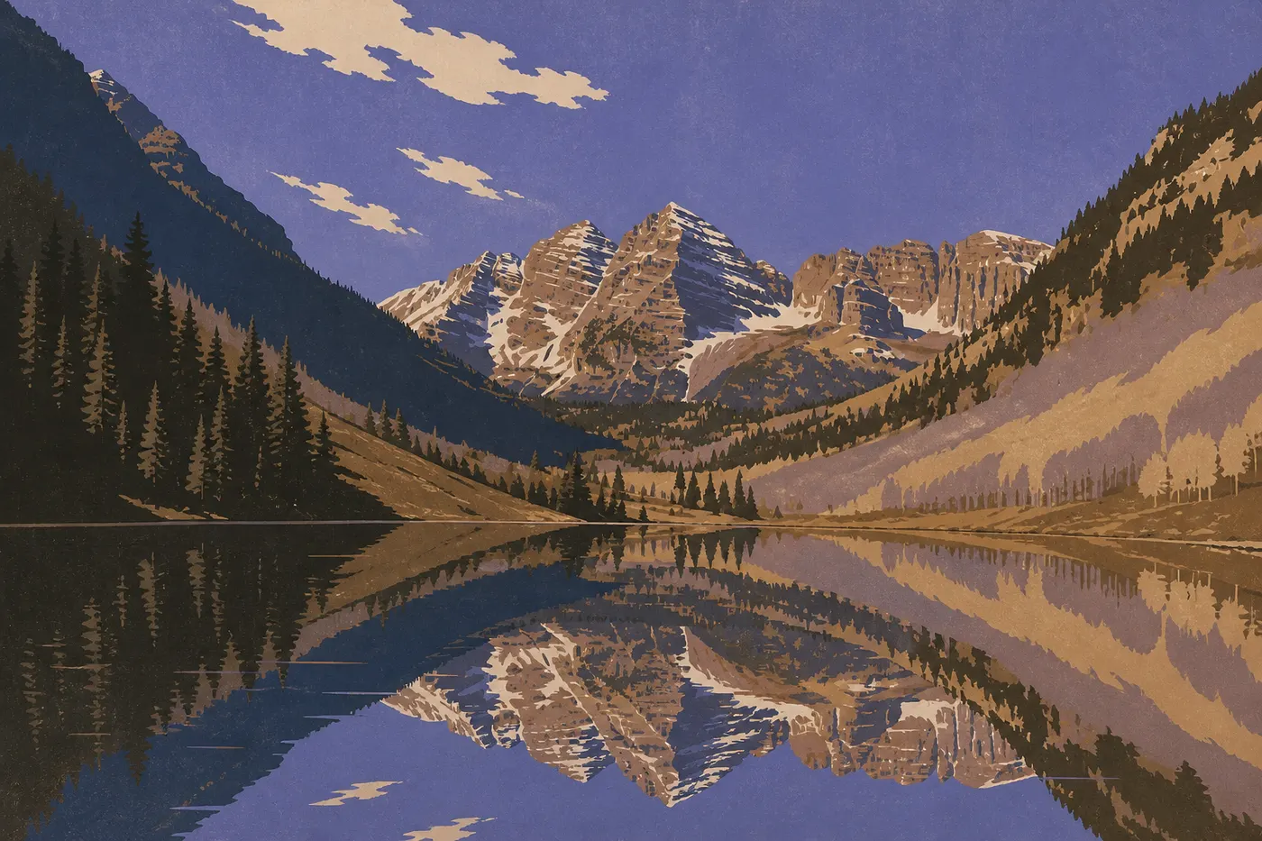
Six in the morning beside Maroon Lake. The air is 39°F, the surface is still, and two red sandstone pyramids are reflected upside down in it, capped with the last patch of snow: the Maroon Bells, the most photographed peaks in the Rockies. We breathe clouds of vapor and don't dare speak. Three hours farther south, a black cliff drops 2,000 feet straight into a river we can hear but not see. Farther still, a road with no guardrail clings to the mountainside above the void, crosses a 11,018-foot pass, and drops back down to a mining town settled at the bottom of its basin. Elsewhere, eight-century-old stone houses sleep beneath a cliff overhang. And at the very end of the loop, sand dunes as tall as a 60-story building climb toward a snowcapped range. That's Colorado, and it all fits into one trip.
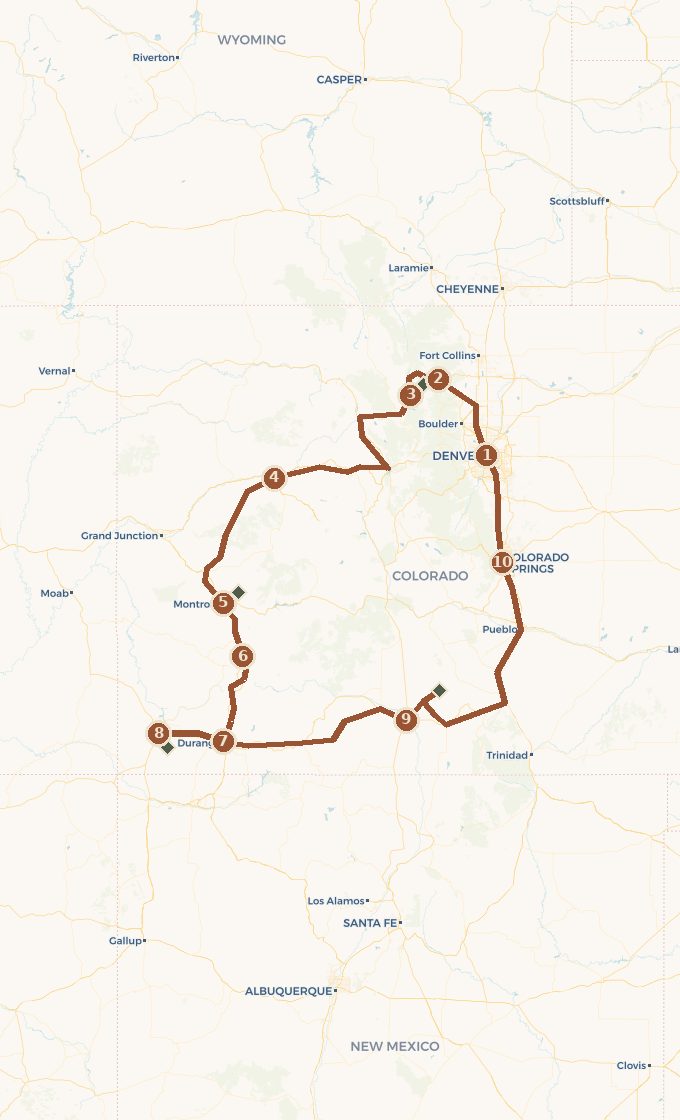
This road trip connects those images in a loop. It starts in Denver, heads straight for the peaks of Rocky Mountain on Trail Ridge Road, drops onto I-70 and its canyons, plunges into Black Canyon of the Gunnison, tackles Million Dollar Highway to Durango, travels back in time at Mesa Verde, crosses the sand at Great Sand Dunes, then returns to Denver through Colorado Springs. Ten to twelve days in a loop, between 5,250 and 12,100 feet, and four national parks that could not be more different. We drive over passes, live at altitude, and return to our starting point feeling as if we've seen four different countries.
 Base map © OpenStreetMap · © CARTO
 - 1. Denver
- 2. Estes Park et Rocky Mountain
- 3. Grand Lake, par la Trail Ridge Road
- 4. Vail et Glenwood Springs
- 5. Montrose et le Black Canyon
- 6. Ouray et la Million Dollar Highway
- 7. Durango
- 8. Cortez et Mesa Verde
- 9. Alamosa et les Great Sand Dunes
- 10. Colorado Springs et Garden of the Gods
1 stop national park on the route detour
Which Way to Drive the Loop, and How Long to Spend
This is the first real choice on the route, and it comes down to two constraints that shape everything: altitude and snow. We drive from Denver toward the mountains first, then south toward the canyons, and return through the east. In practical terms, we tackle Trail Ridge Road early in the trip and save the south for last.
We stand by that choice, and it's no accident. Trail Ridge Road, the highest continuous paved road in the country, closes from October through May and can disappear into the clouds on any summer afternoon. Driving it early puts the most weather-sensitive section safely behind us. If the weather turns, at least we've already crossed the tundra. Finishing there would mean staking the trip's climax on a road that can close for a storm. The narrative follows the same logic: we start on Colorado's rooftop, descend toward the canyons of the southwest, travel back in time among the cliff dwellers, and ease into the dunes and red sandstone of Colorado Springs, an hour from Denver. The trip climbs, peaks on Million Dollar Highway, then settles down.
Plan on ten to twelve full days. In ten, the loop works if you keep the nights tight. In twelve, it has room to breathe, with a full day at Mesa Verde and an extra morning in the San Juans. The distance tops 1,000 miles, but the beginner's mistake is to think in miles. Here, think in mountain passes. Million Dollar Highway is only 25 miles long, yet it will take your whole morning.
Altitude Is the Real Issue
No other Western road trip keeps you this high for this long. Denver already sits at 5,250 feet, Trail Ridge Road reaches 12,183, and we rarely sleep below 6,600. This isn't just a map detail. It's the constraint that determines your pace, your schedule, and sometimes your plans for the day.
Acute mountain sickness doesn't give you warning. It hits when you exert yourself above 8,200 feet, bringing a dull headache, nausea, and broken sleep. The answer comes down to three things: climb gradually, drink plenty of water, and don't go from the airport to a summit on the same day. The loop is well designed for this. We spend the first night in Denver, the second in Estes Park at around 7,500 feet, and don't tackle Trail Ridge until our bodies have started to adjust. Don't skip that acclimatization, even when the itinerary is pushing you onward.
The other rule is thunderstorms. In summer, above tree line, clouds build around midday with clockwork regularity, and lightning strikes the ridges in the early afternoon. The rangers' advice is simple: get back below tree line before noon. We hike early, watch the sky, and don't linger on an exposed summit when the cumulus clouds start building.
Act I. Denver, the City at 5,250 Feet
We pick up the car in Denver, the highest of America's major cities, exactly one mile above sea level. A walk around the State Capitol is marked by the number: 5,280 feet, a full mile. The city deserves half a day to settle into the pace and let our bodies feel the altitude before the peaks. A revitalized brick district around Union Station, a brewery, and one last big-box store for water and snacks: this is the trip's logistics base, not the trip itself.
It begins when we head northwest. The plains suddenly give way, the first line of the Rockies cuts across the horizon, and we understand why pioneers called it the Front Range: a clean wall rising above the grasslands. In an hour and a half, we move into the foothills and reach Estes Park, the gateway town to Rocky Mountain, tucked at 7,500 feet beneath the peaks. We spend the night there. It's the first step in acclimatization and the launchpad for Trail Ridge Road.
Act II. Estes Park and Rocky Mountain, Trail Ridge Road Above Tree Line
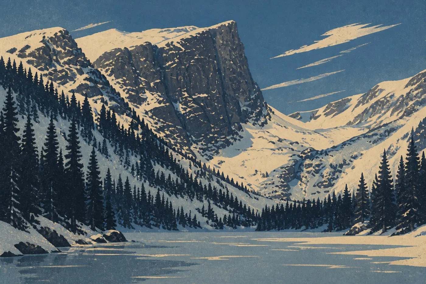
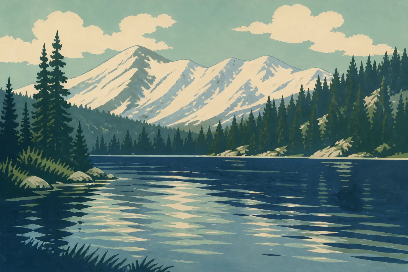
Rocky Mountain is a vertical park. Within a few miles, we leave the aspen forest for dark spruce and fir, then reach the low tundra where no trees grow. In the morning, before the crowds and thunderstorms, we head into the Bear Lake corridor. A short walk leads to Dream Lake, a mirror beneath Hallett Peak, where the summits are reflected without a ripple as long as the wind stays down. It's the park's postcard view, and you have to earn it by getting there early.
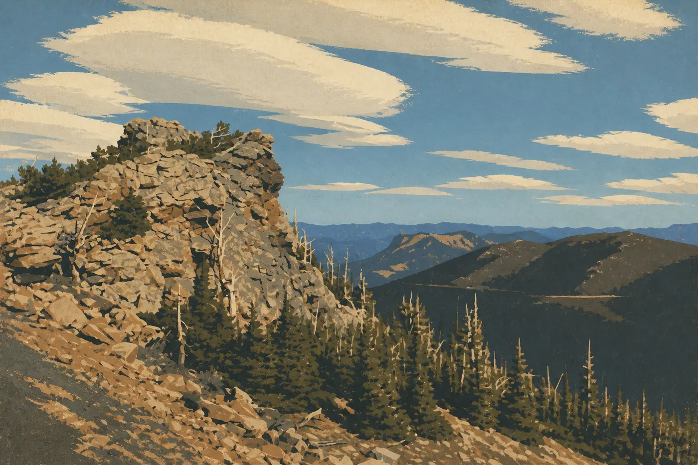
Then comes Trail Ridge Road, the backbone of the route. It climbs to 12,183 feet, making it the highest continuous paved road in an American national park, and for roughly nine miles it runs above tree line through alpine tundra. Marmots whistle, elk graze the short grass, and the air gets so thin that climbing a few stairs at the Alpine Visitor Center leaves us breathless. We stop often, bring warm layers even in July, and descend on the west side. The road drops us at Grand Lake, Colorado's largest natural lake, on the park's western edge, where the Colorado River begins as a trickle we could step across. We spend the night by the water with the engines off, a world away from the lines on the east side.
Act III. I-70's Legendary Drive, Vail, and Glenwood Canyon
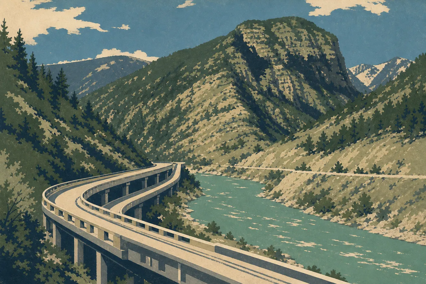
From Grand Lake, we connect with I-70, the interstate that cuts across the Rockies. It may be called an interstate, but this is a legendary drive. It crosses the Continental Divide, runs past world-famous ski resorts such as Vail and its enormous slopes, and squeezes through places where the mountains left no room. The highlight is Glenwood Canyon. For about 12 miles, the interstate runs on two levels of viaducts suspended above the Colorado River, wedged between limestone walls and a river separated from the pavement by almost no bank at all. It's an engineering feat that cost years and a fortune, and we forget we're on a major highway.
In Glenwood Springs, we exhale. The city has lived off its hot water for a century. The world's largest outdoor hot springs pool steams beside the river, and nothing relaxes altitude-weary driving legs better. This is also where the trip's best detour begins. An hour south, near Aspen, the road leads to Maroon Lake and the Maroon Bells, the two red pyramids that opened this story. Watch out for the catch: in summer, the access road is closed to private cars, and we take a shuttle from Aspen Highlands with a reservation. Book a time slot ahead or skip it without regrets. The morning view is worth the effort, but it has to be earned. These peaks aren't a national park, just one of Colorado's finest postcard scenes.
Act IV. Black Canyon and Million Dollar Highway
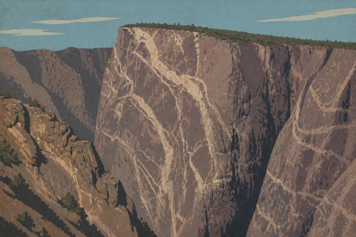
This is the beating heart of the route. We open it with Black Canyon of the Gunnison, a park few travelers know and nobody forgets. The Gunnison River sawed a cut into the granite so narrow and deep that sunlight reaches the bottom for only a few minutes a day, which is where the canyon gets its name. Painted Wall is the star. At 2,250 feet of rock striped with pale veins, it's Colorado's tallest cliff, a wall that makes us dizzy just leaning over the railing. We follow the South Rim from overlook to overlook, listen to the river rumble far below, and leave shaken.
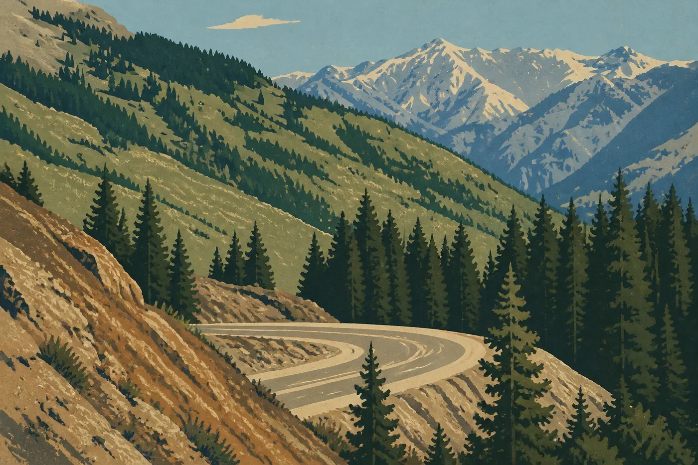
Then the road rises south and becomes the most spectacular drive in the country. Million Dollar Highway connects Ouray and Silverton on US 550 through the heart of the San Juans. Ouray, tucked into a basin ringed by cliffs, calls itself the Switzerland of America, and it's easy to see why. Past town, the road clings to the mountainside, without guardrails in places, strings together hairpin turns above the void, and crosses Red Mountain Pass at 11,018 feet through a landscape of abandoned mines and rust-colored rock. We drive slowly, grip the wheel, and pull over at the first widening to let our hearts settle. Where did the name come from? Some attribute it to the staggering cost of construction; others to the gold and silver ore buried in the roadbed. Both versions have merit, and neither exaggerates.
Act V. Durango, the Silverton Train, and the Cliffs of Mesa Verde
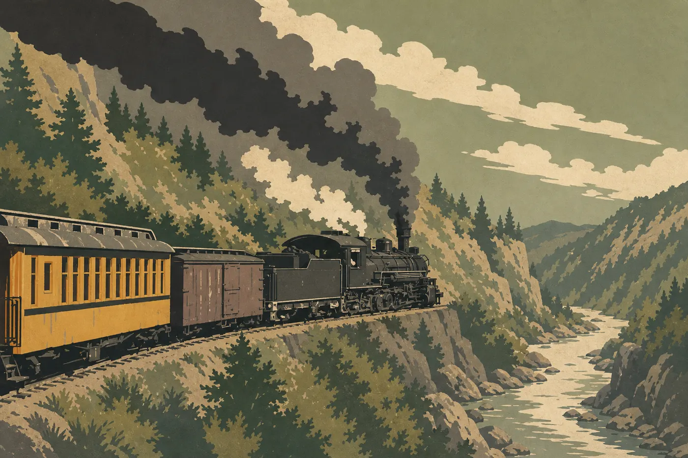
Durango slows the pace after the mountain passes. The town has kept its Wild West character, with wooden facades and a Victorian main street, and above all its train. The Durango and Silverton Narrow Gauge Railroad, a coal-burning steam locomotive dating to 1882, climbs the Animas Canyon to Silverton on narrow-gauge tracks carved into the cliff where no road can pass. It's a full day, slow and smoky, but one of the best ways to see the San Juans without holding a steering wheel. We leave the car in the lot and let the train carry us.
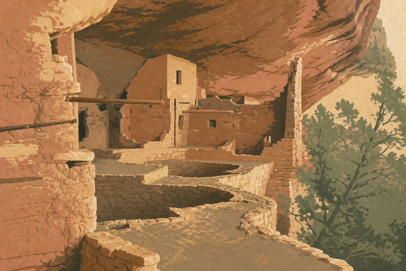
Then we travel back seven centuries. West of Durango, Mesa Verde protects the cliff dwellings of the ancestral Pueblo people, builders once called the Anasazi. Beneath immense sandstone overhangs, they built villages of stone and mortar, including Cliff Palace, the largest in North America, with its 150 rooms and towers tucked into the cliff face. They lived there, grew corn on the mesa, then left around 1300 for reasons still debated. We visit the major sites in small groups with a ranger, climbing down wooden ladders into rooms where silence feels as thick as the centuries. It's the only American national park dedicated not to nature, but to what people built there.
Act VI. Great Sand Dunes and the Return Through Colorado Springs
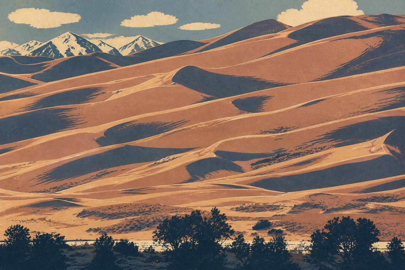
We think we've seen everything, and then the desert appears. From Mesa Verde, the road heads east and opens into the San Luis Valley, a vast dry plateau ringed by mountains. Here, against the snowy foot of the Sangre de Cristo Range, wind has piled up the tallest dunes in North America: sand reaching 750 feet, a contrast nothing can prepare you for. We climb Star Dune barefoot, ride back down on a sandboard, and when the snow melts, an ephemeral stream called Medano Creek runs in warm sheets at the foot of the dunes where children splash. Burning sand, white peaks, clear water. All three in one view.
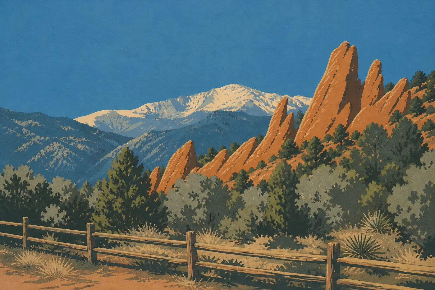
The return drive still has one last card to play. We head north to Colorado Springs, at the foot of Pikes Peak, one of the 14,000-foot summits that inspired the song “America the Beautiful.” On the edge of town, Garden of the Gods raises blades of red sandstone straight into the sky. It's free and open to everyone, with the mountains as a backdrop. It's a fine ending to the trip: after the tundra, the black canyon, the inhabited cliffs, and the dunes, these red stone flames are just an hour from Denver. We return the wheel where we picked it up, our heads full of passes and altitude.
Four Parks, Four Worlds
That's the case for this loop, and it fits in one sentence: four national parks that could not be more different. Most major Western itineraries string together variations on one theme, red-rock desert or geyser country. Here, every park is a world of its own.
Rocky Mountain is alpine tundra, a vegetation zone usually found only near the Arctic Circle, sitting on Colorado's roof. Black Canyon is the exact opposite: a shadowed gash where light reaches the bottom only at midday, pure verticality. Mesa Verde tells the story not of nature but of people, seven centuries of life clinging to the cliffs. And Great Sand Dunes is the ultimate outlier, a piece of the Sahara backed by snowcapped peaks. We go from one to the next in a day's drive, and that constant leap is the real luxury of the trip. We never get used to it.
The national parks on this road trip
When to Go and What It Costs
This route has one season for the complete loop: late May through mid-October, when Trail Ridge Road has been plowed and opened. Outside that window, Act II drops out, and so does the heart of the trip. The ideal window runs from mid-June to mid-September, with a preference for September. The crowds thin out, the air cools, and the aspens turn gold on the slopes, a show locals wait for all year.
Summer brings afternoon thunderstorms, as regular as they are brief. We plan our days to be at altitude in the morning and sheltered in the afternoon. Fall offers the best light and colors, at the cost of already-cold nights in the mountains. Winter closes Trail Ridge Road and some of the mountain-pass routes. The loop no longer exists, and only a southern itinerary remains realistic.
As for the budget, the biggest expense is still the car, rental plus gas on a mountain loop with plenty of climbing. Lodging adds up in popular gateway towns such as Estes Park, Ouray, and Aspen, while park lodges book up months ahead. Entrance fees, national parks, the Silverton train, and the Maroon Bells shuttle remain modest by comparison, but they require planning because time slots go early. We're giving ballpark figures. Build your detailed budget from recent quotes, since Colorado prices rise during peak season.
Route Variations
Eight-day version, skipping the southwest. Don't have twelve days? Keep the northern and central sections of the route: Denver, Rocky Mountain, Trail Ridge Road, I-70, and Black Canyon, then return via Million Dollar Highway and Colorado Springs without going as far as Durango and Mesa Verde. You lose the inhabited cliffs but keep the tundra and the passes. The narrative still works, tightened around the high mountains.
Extension to Arches and Moab. From Grand Junction, two hours off the I-70 route, the Utah line opens the door to sandstone arches and the desert of Arches. This is another trip grafted onto this one, the beginning of Utah's Grand Circle of parks, best reserved for longer itineraries that want to combine Colorado with canyon country.
Frequently Asked Questions
How long do you need for this Colorado Rockies road trip?
Plan on ten to twelve full days for the complete loop from Denver. In ten, you keep the nights tight. In twelve, you can spend a full day at Mesa Verde and take an extra morning in the San Juans. The distance tops 1,000 miles, but these are mountain miles, slow by nature.
What's the best time of year for this Colorado road trip?
From late May through mid-October, when Trail Ridge Road is open. The best window runs from mid-June to mid-September, with a special nod to September, its thinner crowds, and the gold of the aspens. Outside the season, the complete loop isn't possible.
Is altitude a problem on this route?
You can manage it as long as you respect it. We spend one night in Denver and then one in Estes Park before tackling Trail Ridge, drink plenty of water, and don't climb a summit on the day we arrive by air. In the mountains, we hike in the morning to avoid afternoon thunderstorms.
Is Million Dollar Highway dangerous?
It's spectacular and demands concentration, with no guardrails in places, steep elevation changes, and hairpin turns above the void. Drive during the day, in good weather, and without rushing, and it's very manageable. Avoid it at night and in snow.
Can you take this road trip in winter?
Not as a complete loop. Trail Ridge Road closes from October through May, and several southern passes become difficult. In winter, switch to a southern Colorado itinerary without the high mountains, or save this trip for the warmer months.