
Isle Royale Map: Layout, Areas, and Official Downloadable Map
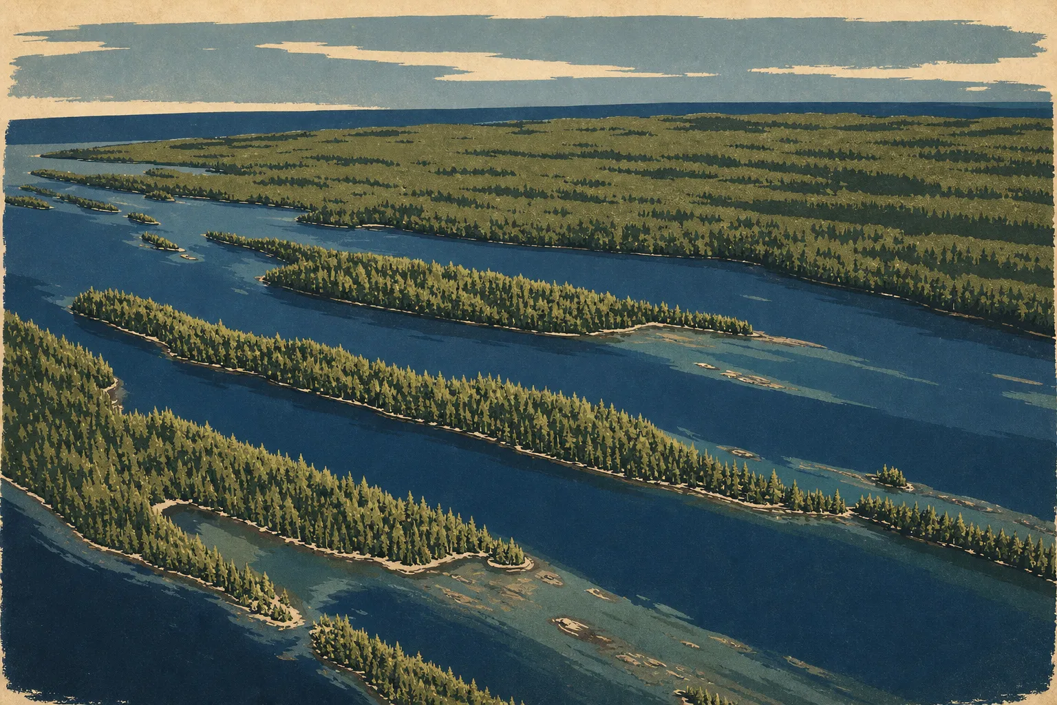
Isle Royale is a remote island in the heart of Lake Superior, Michigan. It lies about 45 miles northeast of Michigan's Upper Peninsula and 16 miles from the Canadian shore. There are no roads or bridges, so you can reach the island only by boat or seaplane. The official NPS map, in Unigrid format, is available as a free PDF on the park's website. You'll find the direct link in the section below.
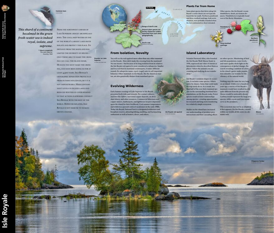
The official park map handed out at entrance stations, with roads, areas, visitor centers and services. View it here or download it for offline use.
Download the map (PDF) Public domain · National Park ServiceWhere Is Isle Royale?
Isle Royale belongs to the state of Michigan, even though it's geographically much closer to Ontario, Canada, than to Michigan's mainland. It's part of Keweenaw County. On a map of the United States, look for Lake Superior, the largest of the Great Lakes. Isle Royale sits in its northwest corner, halfway between Houghton, Michigan, to the south and Thunder Bay, Ontario, to the north. The park's administrative headquarters are in Houghton.
The main island is about 45 miles long and 9 miles wide. More than 400 smaller islands and islets surround it, forming the archipelago protected by the national park.
Download the Official Isle Royale Map (NPS Unigrid)
The National Park Service publishes a paper Unigrid map, available for free at park entry points. You can download the PDF version from nps.gov/isro/planyourvisit/mapsbrochures.htm. It covers the entire archipelago, including trails, anchorages, shelters, and campgrounds.
This is your essential field reference. The trails are shown in detail, while elevation changes aren't included. Shelters and camping areas are all marked. Print it or download it before you leave, since the entire park is offline. We also recommend National Geographic Trails Illustrated map No. 240, made specifically for Isle Royale. See the “Trail Maps” section below.
Isle Royale Areas
Isle Royale runs along a northeast-to-southwest axis, with two very different shorelines. The breakdown below is geographic. For activities by area, see the Isle Royale activities guide.
North Shore (Lake Superior)
The North Shore is exposed to the winds and waves of Lake Superior. The coastline is wilder, anchorages are scarce, and routes from the island's interior reach it through wooded ridges. This is the least visited side of the park, popular for fishing and wildlife viewing. Wolves, moose, and other iconic species are covered in the Isle Royale wildlife guide.
South Shore (Lake Siskiwit and Inland Bays)
The South Shore has most of the park's infrastructure and entry points. Rock Harbor lies to the northeast and Windigo to the southwest. They're the park's only two service areas. The inland bays, especially Siskiwit Bay, offer calmer water for kayaking and canoeing. Vegetation is dense here, and deer are regularly spotted along the edges.
Rock Harbor Area
Rock Harbor, at the island's northeastern tip, is the park's main hub. You'll find the lodge, marina, visitor center, and the main boat connections from Copper Harbor and Houghton. It's the natural starting point for crossing the island lengthwise on the Greenstone Ridge Trail.
Windigo Area
Windigo occupies the southwestern tip. It's the park's second service hub, served from Grand Portage, Minnesota. This area sees fewer visitors than Rock Harbor, making it a favorite entry point for anyone seeking solitude from day one. A small visitor center and campsites are available here.
Central Ridge (Greenstone Ridge)
Greenstone Ridge crosses the island from east to west for about 40 miles. It's the park's topographic backbone, rising to about 476 feet at Mount Desor. It naturally divides the northern and southern watersheds. The Greenstone Ridge Trail is the standard route for multi-day trips. The Isle Royale hiking guide details its stages and elevation changes.
Park Entry Points and Getting to the Island
You can't reach Isle Royale by car or on foot from the mainland. There are no interior roads in the usual sense. Travel on the island is exclusively by foot or boat, including kayaks, canoes, and ranger boats. “Entry point” here means a water or air arrival point.
Rock Harbor receives ferries from Houghton, about 6 hours away, and Copper Harbor, about 3.5 hours away. Windigo is served from Grand Portage, Minnesota, about 1.5 hours away. A seaplane also connects Houghton and Rock Harbor during the season. For booking details, schedules, and transportation fares, see the guide to getting to Isle Royale.
The park entrance fee is $7 per person per day, according to 2025 NPS data. The park-specific annual pass costs $60.
Points of Interest and Viewpoints on the Map
You can reach all of Isle Royale's points of interest only on foot or by water. Here are the main ones to locate on the Unigrid map.
Mount Desor is the island's highest point, at about 476 feet. On a clear day, the view from the ridge stretches more than 19 miles across Lake Superior, with the Canadian shore visible to the north.
Passage Island Lighthouse is a historic lighthouse on a small island at the park's northeastern tip. You can see it from Rock Harbor in clear weather.
Scoville Point offers a sweeping view of Lake Superior from a rocky point 2 miles from Rock Harbor. It's one of the shortest walks with an open view.
Blake Point marks the island's easternmost tip. You can reach it from Rock Harbor via an 11-mile loop. Here, Lake Superior shows its wildest side, with no coastal shelter.
Lake Siskiwit is the park's largest inland lake. It even contains an island, Ryan Island, making it a fun geographic oddity. Several trails on the South Shore provide access.
For the full list of must-see sites and advice on planning your days, visit our Things to Do page.
Nearest Towns and Airports
The nearest town with regular boat service is Houghton, Michigan, about 56 miles south of the island. The park headquarters and main ferry terminal are there. You can reach Houghton from Detroit in about 7 hours by car or through Houghton County Memorial Airport (CMX).
Copper Harbor, Michigan, is the second departure point, farther northeast on the peninsula. Grand Portage, Minnesota, on the other side of the lake, serves Windigo. Duluth International Airport (DLH) in Minnesota and Thunder Bay International Airport (YQT) in Ontario, Canada, are alternatives for reaching the area, depending on where you're coming from.
Our Access & Transportation page covers flights, road connections to the terminals, and ferry reservations.
Paper Hiking Maps and Topographic Guides
The NPS Unigrid map is enough for general orientation. For multi-day hiking, you'll want a topographic map, since the ridge's terrain and trail variations aren't detailed in the official document.
The National Geographic Trails Illustrated No. 240 (Isle Royale National Park) is the standard map for the area. It covers the entire archipelago at a scale of 1:45,000, with contour lines, shelters, and backcountry camping areas. You can find it at Cartovia and at specialty travel bookstores.
For offline digital use, the Avenza Maps app accepts georeferenced NPS PDFs. That lets you use the official map with your GPS location without a network connection.
Frequently Asked Questions
Which state is Isle Royale in?
Isle Royale belongs to the state of Michigan, even though it's geographically closer to Ontario, Canada, than to Michigan's mainland.
When does Isle Royale open?
Isle Royale opens every year on April 16 and closes on October 31. Transportation services, including ferries and seaplanes, operate from May through September. The island is completely closed to visitors from November 1 through April 15 because of extreme winter conditions on Lake Superior. Our Isle Royale seasons guide explains the advantages of each month during the open season.
What's the largest island in Lake Superior?
The largest island in Lake Superior is Manitoulin Island, Ontario, Canada. It's also the world's largest freshwater island. Isle Royale is the lake's largest island on the American side.
Can you drive across Isle Royale?
No. The island has no drivable roads and no road connection to the mainland. Travel within the park is only on foot along trails or by boat on its inland waterways.
What's the best viewpoint on Isle Royale?
Mount Desor, the island's highest point at about 476 feet, and Blake Point, at the northeastern tip, offer the most expansive views of Lake Superior. Our Things to Do page compares these spots, including walking distances and times.
How long do you need to visit Isle Royale?
Plan on at least 3 to 4 days to explore beyond Rock Harbor, taking boat transportation constraints into account. Our Itinerary & Length page offers 3-, 5-, and 7-day itineraries for different hiking levels.
What's the nearest town to Isle Royale?
The nearest town with regular boat service is Houghton, Michigan, about 56 miles south of the island. Our Access & Transportation page covers transportation options from Houghton, Copper Harbor, and Grand Portage.