
Shenandoah Hiking: Best Trails for Every Skill Level
Shenandoah stretches 106 miles along wooded ridgelines in Virginia's Blue Ridge Mountains, two hours from Washington, D.C. The park has hundreds of miles of trails, but about a dozen stand out: views across the Appalachians, waterfalls tucked into the valleys, and a memorable scramble over granite boulders near the summit of Old Rag Mountain.
If you only do one hike, make it Old Rag Mountain, a 9.1-mile loop with 2,700 feet of elevation gain and a scramble over granite boulders. You'll need a good fitness level, and a day-use permit has been required since 2022. For panoramic views with less effort, Stony Man Trail (1.5 miles from Skyland) reaches the park's second-highest summit in under an hour. For an easily accessible waterfall, Dark Hollow Falls is the ideal introduction, just a short distance from Big Meadows.
How to Prepare for a Shenandoah Hike
Permits
Day hiking on most trails in the park is open to everyone and doesn't require a permit. Old Rag Mountain is the exception: it has required a paid day-use permit since 2022 (reserve through recreation.gov, about $1 per person). Without a reservation, you may be turned away during peak spring and fall hours. You'll need a free wilderness permit for overnight backcountry trips. Pick one up at a visitor center or get it online. The park's visitor centers have details on permitted areas and backcountry camping rules.
Wildlife: Bears and Ticks
Black bears live throughout the park. Store food in an airtight bag or bear canister, don't leave anything in your car, even if it's wrapped, and make noise on the trail so you don't surprise a bear around a bend. Tick bites are common from April through October. Wear long clothing, apply an approved repellent, and check yourself after every outing. In rocky areas, watch your footing. Timber rattlesnakes live in the park.
Dogs
Dogs are welcome on most trails, as long as they're kept on a leash no longer than 6 feet. Some trails are off-limits to dogs, including Dark Hollow Falls. Check the signs at each trailhead before setting out.
Water and Gear
Not every trail spring is safe to drink from. Bring a filter or purification tablets, and carry at least 0.5 liters of water per hour of hiking in summer. The mountain is about 9°F cooler than the valley, so always bring an extra layer, even in the middle of July.
The Best Hikes, Area by Area
Skyline Drive crosses the park for 106 miles, from the northern entrance at Front Royal to Rockfish Gap in the south. This guide divides the park into three geographic areas, from north to south.
Northern Area (Front Royal to Thornton Gap)
Compton Peak
- Distance: 2.5 miles round-trip
- Elevation gain: 750 feet
- Time: 1.5–2 hours
- Difficulty: Moderate
- Type: Out-and-back
A short climb from the Appalachian Trail leads to an open view of Shenandoah Valley to the north. The trail follows the AT for a few hundred yards before branching off toward the summit. Trailhead: Compton Gap parking area on Skyline Drive, mile 11. Get there early during the busy season for the best light.
Central Area (Thornton Gap to Swift Run Gap): Skyland and Big Meadows
This is the heart of the park. The area has the best-known hikes, the two highest summits, and the most photographed waterfalls.
Stony Man Trail
- Distance: 1.5 miles (loop)
- Elevation gain: 400 feet
- Time: 1 hour
- Difficulty: Easy
- Type: Loop
The park's second-highest summit, at 4,019 feet, is reachable in an hour from Skyland. The northwest-facing view across the valley is striking, and the hike is manageable for almost any fitness level. Trailhead: Skyland Resort. Parking is limited during the busy season, so plan to arrive before 9 a.m. on weekends.
Whiteoak Canyon
- Distance: 6.8 miles round-trip (six waterfalls)
- Elevation gain: 1,700 feet
- Time: 4–5 hours
- Difficulty: Difficult
- Type: Out-and-back
Six waterfalls follow one another through a forested canyon. If you only have a morning, turn around after the first two waterfalls (2.5 miles round-trip, moderate). To hike the entire canyon, plan on a full day, strong legs, and waterproof shoes. Trailhead: Whiteoak Canyon trailhead, accessible from Skyline Drive near Skyland or via the valley road.
Hawksbill Summit (Upper Hawksbill Trail)
- Distance: 2.2 miles round-trip
- Elevation gain: 750 feet
- Time: 1.5–2 hours
- Difficulty: Moderate
- Type: Out-and-back
The park's highest point, at 4,052 feet. The trail climbs steadily through spruce trees before emerging at a stone shelter with a 360-degree view. In fall, the colors across the Appalachian ridges are worth the trip by themselves. Trailhead: Upper Hawksbill parking area, between Skyland and Big Meadows.
Dark Hollow Falls
- Distance: 1.5 miles round-trip
- Elevation gain: 425 feet
- Time: 1–1.5 hours
- Difficulty: Moderate (a fairly steep climb on the way back)
- Type: Out-and-back
The park's most visited waterfall, dropping about 65 feet. Follow a forest trail scattered with slippery rocks down to a waterfall that pours over dark sandstone. Wear shoes with good traction, even in dry weather. Trailhead: Dark Hollow Falls parking area, near Big Meadows. Dogs aren't allowed on this trail.
Bearfence Mountain
- Distance: 1.2 miles (loop)
- Elevation gain: 360 feet
- Time: 1 hour
- Difficulty: Moderate (rock scramble)
- Type: Loop
This trail is often missing from the usual lists, but it shouldn't be. The loop includes a short scramble over quartzite boulders, then opens onto a 360-degree view with no trees blocking the horizon. It's one of the few summits in the park where you can see both sides of the Blue Ridge at once. Trailhead: Bearfence Mountain parking area, in the southern part of the central district on Skyline Drive.
Southern Area (Swift Run Gap to Rockfish Gap)
Blackrock Summit
- Distance: 1.1 miles (loop)
- Elevation gain: 260 feet
- Time: 45 minutes–1 hour
- Difficulty: Easy
- Type: Loop
The southern area is noticeably less crowded than the central district, which is an advantage in itself. Blackrock Summit offers open views over the large quartzite fields, or talus slopes, that characterize the park. It's a good way to end a day on Skyline Drive without unnecessary effort. Trailhead: Blackrock Summit parking area, in the southern district.
Old Rag Mountain (trailhead off Skyline Drive)
Old Rag Mountain
- Distance: 9.1 miles (loop)
- Elevation gain: 2,700 feet
- Time: 5–8 hours depending on your pace
- Difficulty: Difficult
- Type: Loop
A day-use permit is required (reserve through recreation.gov). Don't show up without a reservation on a spring or fall weekend; time slots fill as early as the previous Tuesday.
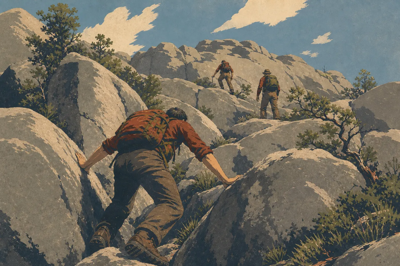
Old Rag is the signature hike in the eastern United States, and it lives up to its reputation. The elevation gain is substantial, but the summit scramble is what people remember most. You'll climb over granite boulders, squeeze through cracks, and use your hands for roughly 1.2 miles. This isn't mountaineering, but it isn't a casual stroll either. Wear lightweight gloves if you have sensitive skin.
The Nethers trailhead is on Route 600, about 45 minutes from Luray, outside Skyline Drive. Arrive before 8 a.m. during the busy season. On-site parking costs extra. The descent via Weakley Hollow Fire Road is long, with about 2.5 miles of flat road, but it's very easy, giving your legs time to recover.
Easy, Family-Friendly Hikes
Shenandoah has several trails that work well for families with young children and for beginning hikers:
- Stony Man Trail (1.5 miles, loop, easy): You get the view without much effort. The few rocky sections near the summit just require a little extra attention with very young children.
- Blackrock Summit (1.1 miles, loop, easy): Kids love the quartzite boulder fields, while the terrain stays stable and the hike is a very manageable length.
- Flat sections of the Appalachian Trail: The famous AT crosses the park for 99 miles. Many sections between Skyline Drive overlooks are flat and wooded, making them ideal for getting a taste of the trail without a major physical challenge.
- Dark Hollow Falls (1.5 miles, moderate): This works well if your children are used to walking on uneven ground. The climb back up is more demanding than the descent.
For more information about activities for young children in the park, see the Shenandoah Family Guide.
Challenging Hikes: Elevation Gain, Views, and Full Days
If you're looking to spend a full day on the trail:
Old Rag Mountain remains the benchmark in the eastern United States for a challenging outing with plenty of character, including a scramble, significant elevation gain, and a wild mountain feel. See the full details above. A permit is required.
The full Whiteoak Canyon hike (6.8 miles, 1,700 feet of elevation gain) is a less familiar alternative, ideal for canyon and waterfall enthusiasts. You can combine it with Cedar Run Trail for a roughly 7.5-mile loop through two canyons, as long as you're comfortable with slippery terrain in wet weather.
A full-day section of the Appalachian Trail: The park is one of the most popular sections for thru-hikers. The stretch between Thornton Gap and Skyland, about 12.4 miles, is a serious challenge with regular views of both sides of the Blue Ridge.
These hikes call for sturdy hiking shoes, plenty of water in summer, and a weather check before you leave. Afternoon thunderstorms are common in July and August. The Shenandoah weather calendar summarizes conditions month by month.
Access, Trailheads, and Parking
Skyline Drive is the only road that crosses the park from end to end, with four entrances: Front Royal in the north, Thornton Gap, Swift Run Gap, and Rockfish Gap in the south. Trailheads and their parking areas are marked along the road. Parking is included with admission: $30 per vehicle, valid for 7 days, or $15 per person entering on foot or by bicycle.
A few things to keep in mind:
- Parking areas at popular trailheads, including Dark Hollow Falls, Stony Man, and Hawksbill, fill up by 10 a.m. on weekends during the busy season. Plan to arrive before 8:30 a.m.
- Old Rag: The trailhead is at Nethers, outside Skyline Drive. Reach Etlan via Route 211, then follow Route 600. On-site parking costs extra.
- If Skyline Drive closes because of severe weather, including snow or ice, hikers can still access the trails on foot.
For public transportation options and alternatives to driving, see the Getting to Shenandoah guide and the Getting Around the Park guide.
When Should You Hike in Shenandoah?
The quick version: spring (April–May) for wildflowers and waterfalls at their fullest; fall (mid-October to early November) for foliage colors along the Appalachian ridges. Summer is still a good time to hike, but it can be hot and humid. The mountain is about 9°F cooler than the valley. Winter brings empty trails, but Skyline Drive may close for several days at a time.
For the complete month-by-month calendar, snow conditions, and real-time alerts, see the Best Times to Visit Shenandoah guide.
Which Hike Is Right for You?
| Hiker profile | Our recommendation |
|---|---|
| First visit to Shenandoah | Stony Man Trail (easy, guaranteed view, 1 hour) |
| Family with children | Blackrock Summit or Stony Man |
| Waterfall lover | Dark Hollow Falls (beginner) or Whiteoak Canyon (experienced) |
| Photography and panoramic views | Hawksbill Summit or Bearfence Mountain |
| Full-day physical challenge | Old Rag Mountain (permit required) |
| Wildlife viewing | AT sections around Big Meadows at sunrise |
To explore the park beyond hiking, see the Shenandoah Activities Guide and the complete Shenandoah guide.
Frequently Asked Questions
What's the best hike in Shenandoah?
The best hike in Shenandoah depends on your fitness level: Old Rag Mountain (9.1 miles, difficult, granite scramble) for a memorable full-day challenge; Stony Man Trail (1.5 miles, easy) for a panoramic view in an hour from Skyland.
Is hiking in Shenandoah difficult?
The difficulty of Shenandoah hikes varies widely by trail. Stony Man and Blackrock Summit work for almost everyone, while the full Old Rag Mountain and Whiteoak Canyon hikes require good fitness and appropriate gear.
Is it safe to hike in Shenandoah?
Hiking in Shenandoah is safe when you follow a few basic precautions: store food away from black bears, check the weather before you leave (summer thunderstorms are common), stay on marked trails, and check your skin for ticks after every outing from April through October.
Do you need a permit for a day hike in Shenandoah?
Day hiking in Shenandoah is open to everyone and doesn't require a permit on nearly all trails. Old Rag Mountain is the only exception. It requires a paid day-use permit reserved through recreation.gov, regardless of the season.
Are there easy, family-friendly hikes in Shenandoah?
Shenandoah has several easy hikes for families. Stony Man Trail (1.5 miles, loop from Skyland) and Blackrock Summit (1.1 miles, loop in the southern area) are the two best starting points for children who are comfortable walking.
Can you hike with a dog in Shenandoah?
Dogs can hike in Shenandoah on most trails, as long as they're kept on a leash no longer than 6 feet. Some trails are off-limits, including Dark Hollow Falls. Check the signs at every trailhead before setting out.
What's the best time of year to hike in Shenandoah?
The best times to hike in Shenandoah are spring (April–May) for wildflowers and waterfalls, and fall (mid-October to early November) for foliage colors. For month-by-month details, see our When to Go page.
Are there loop hikes in Shenandoah?
Shenandoah has several loop hikes. Stony Man Trail, Bearfence Mountain, Blackrock Summit, and Old Rag Mountain are all loops. The waterfall trails, including Dark Hollow Falls and Whiteoak Canyon, are out-and-back hikes.
How do you reach trailheads and find parking in Shenandoah?
Shenandoah's trails are accessed from Skyline Drive, and trailhead parking is included with admission ($30 per vehicle, valid for 7 days). During the busy season, arrive before 9 a.m. at popular sites. Old Rag Mountain has its own trailhead at Nethers, outside Skyline Drive, with paid on-site parking. Our Access & Transportation page covers all the options.
Which trails offer wildlife, waterfalls, or panoramic views in Shenandoah?
For wildlife, including black bears, white-tailed deer, and wild turkeys, the areas around Big Meadows at sunrise are where animals are most often seen. For waterfalls, try Dark Hollow Falls and Whiteoak Canyon. For 360-degree views, Hawksbill Summit, Bearfence Mountain, and Stony Man offer the best perspectives.