
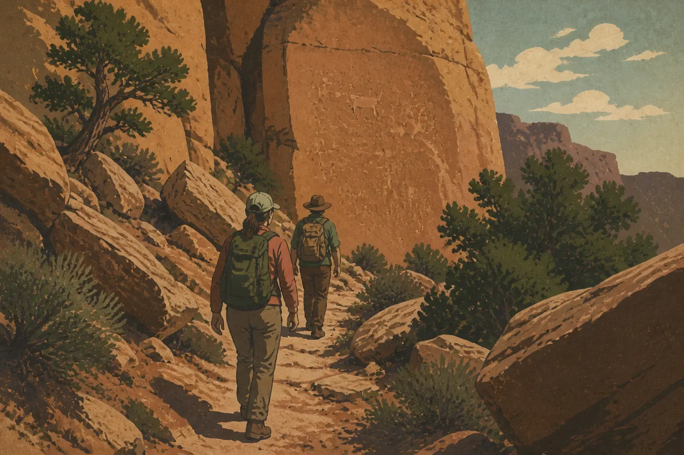
Mesa Verde Hiking: The Best Trails for Every Ability
Mesa Verde is unlike any other American national park. Its trails don't climb toward summits. They descend to cliff dwellings built a thousand years ago into red sandstone cliffs. Hiking here means crossing a juniper-covered mesa and a canyon to reach cliff dwellings recognized as a UNESCO World Heritage Site.
Quick answer: The park's most complete hike is the Petroglyph Point Trail (2.4-mile loop, Chapin Mesa area), with sweeping views of Spruce Canyon and one of the park's largest panels of petroglyphs. Short on time? The Knife Edge Trail (1.9 miles round-trip, Morefield Campground) delivers an immediate panorama with little effort. With kids, try the Badger House Community Trail (2.2-mile loop, Wetherill Mesa), which is flat and lined with pueblo ruins.
How to Prepare for a Hike in Mesa Verde
Permits. You don't need a permit for day hikes. Entering cliff dwellings such as Cliff Palace or Balcony House requires a paid guided-tour ticket, available at the Visitor and Research Center. Book ahead in July and August because time slots fill quickly. Trails are open from 8 a.m. until sunset.
Altitude. Mesa Verde's mesa tops out at about 8,530 feet. That elevation increases fatigue and the risk of dehydration, even on short hikes. Bring at least 1 liter of water per person for any outing longer than an hour, and set out early in summer.
Wildlife. You regularly see mule deer on the trails, sometimes right in the middle of the path. Stay at least 100 feet away and never feed them. Wild turkeys also live in the park and wander into picnic areas without hesitation.
Monsoon storms. In July and August, severe thunderstorms roll in almost every afternoon between 2 and 5 p.m. Lightning is dangerous on exposed ridges such as Point Lookout and Knife Edge. Start at 7 a.m. and be back before noon during the peak season.
Dogs. Dogs are not allowed on Mesa Verde's hiking trails. They're permitted only at Morefield Campground and on the park's paved roads, where they must be leashed. You'll find all the park's pet regulations in the Mesa Verde overview.
Camping and backpacking. Mesa Verde has no dispersed camping and no multiday backpacking routes. Every outing is a day hike. The park is compact and its trails are short. That's by design, not a shortcoming.
The Best Hikes, Area by Area
Chapin Mesa Area
Chapin Mesa is the park's archaeological heart. This is where you'll find its most iconic sites, including Cliff Palace and Spruce Tree House, as well as its two most worthwhile hiking trails.
Petroglyph Point Trail, 2.4 miles · loop · moderate · about 300 feet of elevation gain · 1.5 to 2 hours
This is our favorite hike in Mesa Verde. You descend into Spruce Canyon on a rocky path, with a few sections where you'll use your hands on steps carved into the rock. Nothing technical, but closed-toe shoes are best. At the bottom of the canyon, an imposing panel of petroglyphs emerges from the cliff wall. Animal and geometric figures are carved into the red sandstone at eye level, with striking clarity. The loop then climbs back to the mesa along a ridge with sweeping views into the canyon. When we hiked it in September, we saw only three other hikers along the entire route. Trailhead: Chapin Mesa Archaeological Museum parking area. Good to know: The trail sometimes closes during weather alerts. Check conditions at the Visitor Center before setting out.
Spruce Canyon Trail, 2.1 miles · loop · moderate · about 230 feet of elevation gain · 1 to 1.5 hours
This trail descends to the bottom of Spruce Canyon by a route different from the Petroglyph Point Trail. The canyon is cool and shaded, which feels especially good in the middle of a summer day. The two trails share part of their route and can be combined into an approximately 3.1-mile loop without returning to the intermediate parking area. Trailhead: Chapin Mesa Archaeological Museum parking area, the same starting point as the Petroglyph Point Trail.
Wetherill Mesa Area
Wetherill Mesa is the less-visited western part of the park. It's open only in summer, usually from mid-May until after Labor Day in early September, via a scenic 12-mile road from Far View Junction. The trails here are flat and family-friendly.
Badger House Community Trail, 2.2 miles · loop · easy · negligible elevation gain · 1 to 1.5 hours
This self-guided route passes several mesa-top pueblo sites dating from the eighth through the twelfth centuries. It follows the foundations of living quarters, kivas, which are circular ceremonial rooms set into the ground, and granaries, all marked by clear, informative signs. The terrain stays almost completely flat. This is the ideal route for families with young children or anyone who prefers archaeological discovery to physical exertion. Trailhead: Wetherill Mesa parking area. An internal shuttle runs across the mesa.
Step House Trail, 0.5 mile · round-trip · easy · a few steps · 20 to 30 minutes
Short but memorable. The trail drops quickly into a cliff alcove to reach Step House, one of the few cliff dwellings in the park accessible without a guided tour. You'll see thirteenth-century homes and, directly across from them, carvings from an even earlier period. Trailhead: Wetherill Mesa parking area, the same starting point as the Badger House Community Trail.
Park Entrance Area (Morefield)
The Morefield Campground area, 4 miles from the entrance, has the park's longest trails. There are no archaeological sites here. Hikers come for the views and the physical challenge.
Point Lookout Trail, 2.2 miles · round-trip · strenuous · about 590 feet of elevation gain · 1 to 1.5 hours
This is the park's steepest climb. The trail heads straight up to the summit of Point Lookout, a rocky overlook with 360-degree views across the Four Corners region: the plateaus of Colorado, the San Juan Mountains to the east, and, on clear days, Utah's cliffs to the west. The grade is steady but steep. Avoid it completely during thunderstorms because the summit is fully exposed. Trailhead: Morefield Campground parking area.
Knife Edge Trail, 1.9 miles · round-trip · easy · minimal elevation gain · about 1 hour
This trail follows the edge of the mesa along a ridge with open views of the Montezuma Valley below. There's no technical difficulty, and the path is well established. It's ideal in late afternoon, when the low light falls across the cliffs and mesa. Trailhead: Morefield Campground parking area.
Prater Ridge Trail, 7.8 miles · loop · difficult · about 1,475 feet of total elevation gain · 3.5 to 5 hours
This is the park's longest hike. It traverses the entire Prater Ridge through a forest of pinyon pines and junipers, with regular openings onto the surrounding canyons. There are no archaeological sites along the route. Come prepared with plenty of water and sun protection, and start very early in summer so you can return before afternoon thunderstorms. Trailhead: Morefield Campground.
Easy, Family-Friendly Hikes
The Badger House Community Trail (2.2 miles, loop, flat) and the Step House Trail (0.5 mile round-trip) in Wetherill Mesa are the natural choices for families with young children. The Knife Edge Trail (1.9 miles round-trip) is also manageable for kids as young as 6 or 7, with no particular technical challenges.
Here's a tip from experience: At Mesa Verde, kids stay motivated less by the walking than by the discoveries. Present the outing as an "exploration of secret cities" rather than a hike, and you'll avoid negotiations along the way.
For guided tours of Cliff Palace and Balcony House, along with age-by-age recommendations, the Mesa Verde family guide has everything you need to know.
Strenuous Hikes: Views and Elevation Gain
If you're looking for a real physical challenge, two options stand out.
The Point Lookout Trail (2.2 miles round-trip, 590 feet of elevation gain) is short but demanding. The steep climb earns its payoff at the summit overlook. It's the park's signature panoramic hike and takes less than two hours round-trip.
The Prater Ridge Trail (7.8 miles, 1,475 feet of total elevation gain) belongs in a category of its own. It's a true endurance hike with no guide or ruins at the finish, just forest, altitude, and silence. Aim for May or June, or September, when the risk of thunderstorms is lower.
Access, Trailheads, and Parking
Mesa Verde doesn't provide a shuttle to the trailheads. You'll need to drive to every trail from the park's main road.
- Chapin Mesa (Petroglyph Point Trail, Spruce Canyon Trail): Chapin Mesa Archaeological Museum parking area, about 30 minutes from the park entrance.
- Wetherill Mesa (Badger House, Step House): Wetherill Mesa Road, 12 miles from Far View Junction, open only in summer. An internal shuttle runs across the mesa.
- Morefield (Point Lookout, Knife Edge, Prater Ridge): Morefield Campground, 4 miles from the park entrance. Hikers can use the parking area without a campground reservation.
The uphill road from Hwy 160 to the mesa offers remarkable views of the surrounding canyons and mesas.
For complete details on entering the park, shuttles, and parking, see the Mesa Verde Access and Transportation Guide.
When to Hike in Mesa Verde
The park is open year-round, but access to each area and trail conditions vary widely by season.
Spring (May and June): Ideal conditions. Mornings are cool (39 to 59°F), with comfortable daytime temperatures. Snow is still possible in May. Wetherill Mesa usually opens in mid-May. Crowds are light early in the season.
Summer (July and August): Peak tourist season. Temperatures on the mesa can climb above 90°F in the middle of the day. Monsoon storms roll in almost every afternoon. Start at 7 a.m. and be back before 1 p.m.
Fall (September and October): Our favorite time to hike in Mesa Verde. Warm light, thinning crowds, and temperatures between 50 and 75°F. Wetherill Mesa closes after Labor Day, in early September.
Winter (November through April): Chapin Mesa remains accessible, but trails can be icy and roads snowy. Wetherill Mesa is closed.
For a complete month-by-month calendar, including temperatures and precipitation, the Best Times to Visit Mesa Verde guide covers the details.
Which Hike Is Right for You?
| Hiker profile | Recommended trail |
|---|---|
| First visit, limited time | Knife Edge Trail (1.9 miles round-trip, easy, immediate views) |
| Petroglyphs and canyon | Petroglyph Point Trail (2.4-mile loop, moderate) |
| Family with young children | Badger House Community Trail (2.2-mile loop, flat) |
| Cliff alcove without a guide | Step House Trail (0.5 mile round-trip, easy) |
| Views and a sustained climb | Point Lookout Trail (2.2 miles round-trip, strenuous) |
| Full day of hiking | Prater Ridge Trail (7.8-mile loop, difficult) |
One last word: At Mesa Verde, the sites you pass aren't reconstructions. They've survived intact for a thousand years. Don't touch the walls or pick up anything, even a shard that seems insignificant. Preserving these places depends on every visitor.
Frequently Asked Questions
What's the best hike in Mesa Verde?
The most complete hike in Mesa Verde is the Petroglyph Point Trail (2.4-mile loop, moderate). It combines views of Spruce Canyon with a large panel of petroglyphs, all in the Chapin Mesa area.
Is hiking in Mesa Verde difficult?
Most Mesa Verde trails are short, under 2.5 miles, and moderately challenging. The only truly demanding hike is the Prater Ridge Trail (7.8 miles, 1,475 feet of total elevation gain). The elevation of the mesa, about 8,530 feet, increases fatigue on every route, even the shortest ones.
Do you need a permit to hike in Mesa Verde?
You don't need a permit for day hikes. Guided tours of Cliff Palace, Balcony House, and Long House do require a paid ticket, which it's best to reserve ahead of time. Trails are open from 8 a.m. until sunset.
Can you hike with your dog in Mesa Verde?
Dogs aren't allowed on Mesa Verde's hiking trails. They're permitted only at Morefield Campground and on the park's paved roads, on a short leash.
Are there easy or family-friendly hikes in Mesa Verde?
Yes. The Badger House Community Trail (2.2 miles, loop, flat), the Step House Trail (0.5 mile round-trip) in Wetherill Mesa, and the Knife Edge Trail (1.9 miles round-trip) near Morefield are all suitable for beginners and families with children.
Are there loop hikes in Mesa Verde?
Several trails are loops: the Petroglyph Point Trail, Spruce Canyon Trail, Badger House Community Trail, and Prater Ridge Trail. The Point Lookout Trail and Knife Edge Trail are out-and-back hikes.
When is the best time to hike in Mesa Verde?
May and June, along with September and October, offer the best conditions, with comfortable temperatures and a lower risk of thunderstorms. For a detailed month-by-month calendar, see our When to Visit page.
How do you get to the trailheads in Mesa Verde?
Every trailhead is accessible by car. The Chapin Mesa trails start at the archaeological museum parking area, 30 minutes from the entrance. Wetherill Mesa trails require the 12-mile road from Far View Junction, which is open only in summer. Point Lookout, Knife Edge, and Prater Ridge start at Morefield Campground, 4 miles from the entrance. You'll find complete details on our Access and Transportation page.