
What to Do in Grand Canyon National Park: Must-See Sights
Grand Canyon isn't just another scenic site. It's a 277-mile-long chasm carved nearly a mile deep by the Colorado River in northern Arizona. The question of what to do deserves an organized answer because the park is divided into three very different rims, sometimes separated by hours of driving.
The essentials in three lines. South Rim has the most accessible viewpoints, including Mather Point, Yavapai Point, and Hopi Point, along with marked trails and the park's historic heart. North Rim offers solitude and different views, but it closes in winter. For a dose of adventure, add a helicopter flight or a rafting trip on the Colorado River.
For an overview of the park, the Grand Canyon guide points you to all the practical guides.
Grand Canyon at a Glance: Areas, Access, and Getting Around
Three areas welcome visitors. Confusing them can mean several unnecessary hours on the road.
South Rim. This is the main rim, open year-round. It's 60 miles north of Williams via Route 64 from Interstate 40 and 81 miles northwest of Flagstaff via Route 180. Both entrances, South Entrance and Desert View Entrance to the east, are open 24/7. Admission is $35 per vehicle. Grand Canyon Village, all the park's lodge accommodations, and nearly all of its marked trails are here.
North Rim. It's only 11 miles from South Rim as the crow flies, but 220 road miles away when you drive around the canyon to the east. Open from mid-May to mid-October, at more than 7,900 feet, it is noticeably cooler and far less crowded.
Grand Canyon West. Managed by the Hualapai Nation, this area is not part of the NPS national park. It's home to the Skywalk. Most visitors come from Las Vegas, about 81 miles away.
The Grand Canyon access guide covers entrance conditions, parking, and shuttles. Temperatures between the rim and the canyon floor can easily differ by 27°F. The Grand Canyon climate guide can help you choose the right rim and time of year.
Getting around the park. In summer, Hermit Road on South Rim, a 6.8-mile route, is closed to private vehicles. Free shuttles serve every viewpoint. The Grand Canyon transportation guide has the routes and schedules.
How Much Time Do You Need to Visit Grand Canyon National Park?
One day is enough to cover South Rim's main viewpoints and take a short hike. Two days allow for a fuller visit. You can hike farther down a trail in the morning, then watch sunset from Hopi Point and sunrise from Mather Point. Three days or more become necessary if you want to add North Rim or spend a night on the canyon floor at Phantom Ranch.
The day-by-day Grand Canyon itineraries cover every length of stay.
Must-See Sights by Area
South Rim: Viewpoints and the Park's Historic Heart
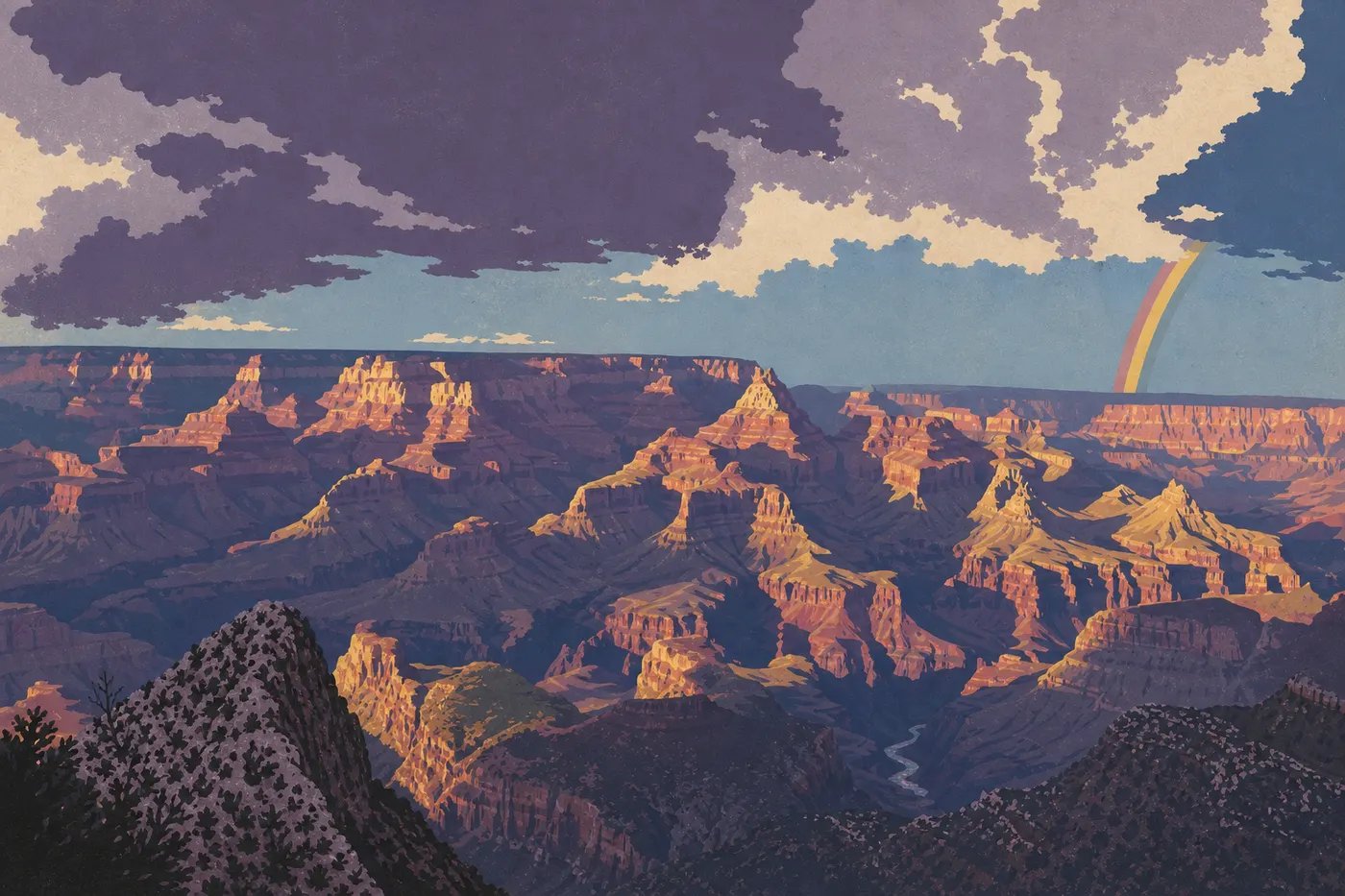
You can explore South Rim along two routes from Grand Canyon Village: Hermit Road to the west and Desert View Drive to the east.
Mather Point. This is the first viewpoint most visitors reach, just a few minutes from the Visitor Center. The view drops straight down to the Isis Temple plateau and the Colorado's bends, 4,900 feet below. Arrive early in the morning to beat the crowds.
Yavapai Point and the Yavapai Geology Museum. At 0.5 miles east of Mather Point, this projecting promontory offers a 270-degree view of the canyon. The free museum clearly explains how the rock layers formed. Allow 30 minutes here.
Grand Canyon Village. This is the park's hub, with El Tovar Lodge, built in 1905, Bright Angel Lodge, the Grand Canyon Railway station, Kolb Studio, and several restaurants. It's easy to explore on foot. Grand Canyon Village is also the starting point for Bright Angel Trail. The Grand Canyon dining guide lists all the options in and around the village.
Hermit Road: Western Viewpoints. This 6.8-mile road connects nine viewpoints served by shuttle. The highlights are Hopi Point, with a direct view of the Colorado and an ideal sunset spot; Mohave Point, a deep panorama that is often less crowded; and Pima Point, where you may hear the river roar 3,300 feet below when the breeze is right. Allow half a day to travel the road and stop at every viewpoint.
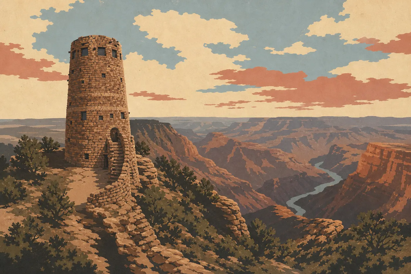
Desert View Drive and Desert View Watchtower. Twenty-five miles east of the Village, this 1932 stone tower designed by architect Mary Colter rises to 7,365 feet. The view east takes in the Painted Desert and the Colorado's bends for dozens of miles. Desert View is also the park's eastern entrance, Desert View Entrance. It's a good entry point if you're arriving from Utah through the Navajo Nation, and it can help you avoid the sometimes long lines at South Entrance during peak season.
Rim Trail. This flat trail follows the canyon rim for 13 miles between the South Rim Visitor Center and Hermit's Rest. There's no significant elevation gain, and part of the paved route is wheelchair accessible. Shuttles let you walk one way and take the bus back.
North Rim: Solitude and Less-Crowded Views
North Rim gets about 10% of South Rim's visitors. Its higher elevation, from 7,900 to 8,400 feet, makes for pleasant summers, with fir and aspen forests instead of South Rim's pine woods.
Grand Canyon Lodge. This 1920s stone-and-timber lodge sits on the edge of the drop-off. Its two panoramic terraces are open to everyone, whether you're staying there or not. A sunset seat is hard to leave.
Bright Angel Point. Located 0.3 miles from the lodge on a narrow promontory, this viewpoint looks down into canyon branches on both sides. The marked trail, a 0.5-mile round-trip, feels dizzying in places. Stay on the trail.
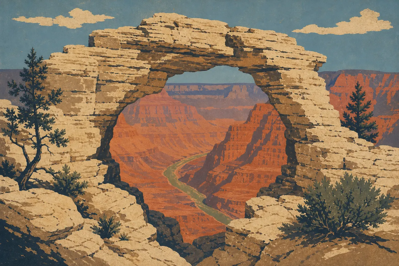
Cape Royal Road and Cape Royal. This 21-mile road from the lodge winds through the forest and ends at several overlooks. Cape Royal, the road's terminus, offers one of the park's most complete views. You can see the Colorado below, South Rim in the distance, and the natural arch known as Angel's Window in the foreground. Point Imperial, on the same road, is the park's highest point at 8,802 feet, with an eastern view toward the Painted Desert.
Grand Canyon West: The Skywalk and Hualapai Lands
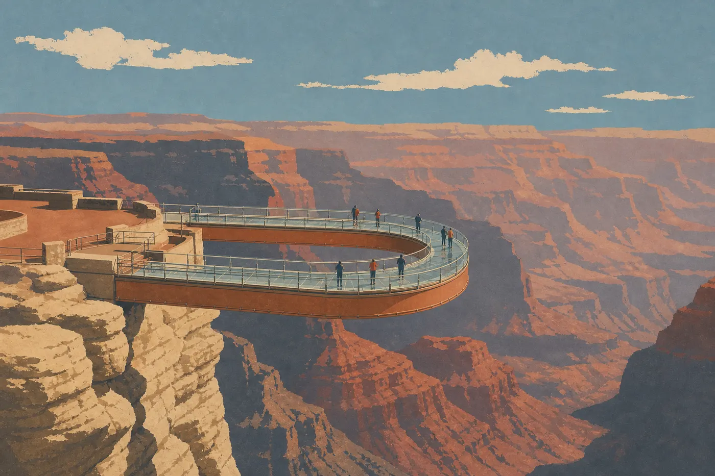
The Skywalk is a horseshoe-shaped glass walkway that extends 69 feet over the void, about 985 feet above the canyon floor. The Hualapai Nation manages admission, which is separate and not covered by the NPS pass. Personal cameras aren't allowed on the platform.
Guano Point, accessible with the same package, offers a spectacular view of the Colorado from a rocky spur. It's a good alternative if the crowds on the Skywalk platform put you off.
Keep in mind that Grand Canyon West is mainly visited from Las Vegas, about 81 miles away. If you're based at South Rim, the detour takes a full day.
The Best Grand Canyon Hikes
Three trails account for most of the hiking from South Rim:
- Bright Angel Trail (up to 9.3 miles round-trip): the busiest and best-equipped trail, with water available from May through September. The shorter version works for hikers of all levels: 1.5 Mile Resthouse is a 3-mile round-trip with 920 feet of elevation gain.
- South Kaibab Trail (up to 13.7 miles round-trip to Phantom Ranch): wide-open panoramic views, but no water or shade anywhere along the route. It's for hikers who carry plenty of water and food.
- Rim Trail (13 miles, flat): described above in the South Rim section.
From North Rim, North Kaibab Trail descends to the canyon floor and connects with the South Rim trails. The full Rim-to-Rim crossing covers 21.7 miles and requires at least two nights, with a wilderness permit reserved in advance.
The NPS strongly advises against hiking down to the Colorado and back up the same day on any trail. Summer temperatures on the canyon floor can exceed 104°F, creating a serious risk of heat illness on the climb out. The Grand Canyon hiking guide covers safety rules, distances, and elevation profiles for each trail.
Other Activities for Every Type of Traveler
Helicopter or airplane tour. Several authorized operators depart from Tusayan, just south of South Entrance, and from Las Vegas for Grand Canyon West. A 30-minute tour gives you a sense of the canyon's scale that is impossible to get from the rim. Book several weeks ahead during peak season.
Rafting on the Colorado River. Raft expeditions through the canyon from end to end last from 3 to 21 days. Space is limited, and trips must be booked months ahead through NPS-authorized operators. If you're short on time, a one-day motorized trip from Lee's Ferry offers a glimpse of the first rapids.
Wildlife viewing. The California condor, reintroduced to the park in 1996, is regularly spotted from South Rim viewpoints. The Kaibab squirrel, endemic to the North Rim area, is easy to see in the evening. Albert's squirrel, recognizable by its distinctive ear tufts, often crosses hikers' paths. The Grand Canyon's Wildlife page explains the best viewing conditions by season.
Stargazing. Grand Canyon is certified as a Dark Sky Park by the International Dark-Sky Association. Light pollution is almost nonexistent, and you can see the Milky Way with the naked eye on a clear night. Desert View Watchtower and Mather Point are the most accessible spots for nighttime stargazing.
Biking. Hermit Road, 6.8 miles long, is open to cyclists year-round, including summer when private vehicles are prohibited. Go early, before the shuttles arrive, to enjoy the road with very few people around.
With kids. The Junior Ranger program lets kids earn an official NPS badge by completing an activity booklet available at the Visitor Center. The Family page brings together practical advice for visiting with children.
Havasu Falls. These turquoise waterfalls on Havasupai Nation lands are technically outside the NPS park. Access is via a 10-mile trail from Hualapai Hilltop. Permits are limited and sell out within minutes when annual reservations open, usually in February. This excursion needs its own planning and should be kept separate from a park visit.
What to Do Around Grand Canyon National Park
Grand Canyon fits naturally into a region packed with remarkable sites.
Page, Arizona, 81 miles east. The town is a base for Horseshoe Bend, Lake Powell, and Antelope Canyon. You can combine these sites with an entrance to the park via Desert View Drive and Desert View Entrance.
Sedona, 93 miles south. Red rock formations, hiking trails, and a distinctive atmosphere. Given the distances, plan on two nights there so you don't have to rush.
Las Vegas, 280 miles west. Many road trips from Las Vegas take in Grand Canyon West or South Rim. Adding a night lets you avoid a same-day round trip that would leave everyone exhausted.
Zion and Bryce Canyon, 3 to 4 hours north. These two Utah parks are a natural addition to a Grand Canyon road trip. Depending on how much time you have, the region lends itself to a road trip that combines all of them.
The Essentials: What to See First at Grand Canyon National Park
If time is short, focus on South Rim. Watch the sunrise at Mather Point, walk to Yavapai Point, then take the shuttle along Hermit Road to Hopi Point for sunset. That's a full, well-paced day. Add an early partial descent on Bright Angel Trail to move beyond the usual rim-level perspective and feel the canyon's depth in your legs.
North Rim is worth the detour if you have two extra days and you're visiting between June and October. Grand Canyon West isn't essential if you're starting from South Rim, but it's a solid option for a road trip based in Las Vegas.
One last thing: Grand Canyon is one of the few places where a photo can't convey what your eyes take in on site. You understand the canyon's true scale by standing at the rim, not by looking at a picture beforehand.
Frequently Asked Questions
What can you do at Grand Canyon National Park?
You can hike trails of all levels from South Rim and North Rim, take in spectacular viewpoints such as Mather Point, Hopi Point, and Cape Royal, fly over the canyon by helicopter from Tusayan, raft the Colorado River, and watch wildlife including California condors.
What is the most beautiful spot in Grand Canyon National Park?
The answer depends on the visitor. Hopi Point is a popular choice for sunsets over the Colorado from South Rim. Cape Royal on North Rim offers one of the most complete views into the canyon's depths. Yavapai Point stands out for its 270-degree panorama, accessible in less than 10 minutes from the Visitor Center.
How many days do you need to visit Grand Canyon National Park?
One day is enough for South Rim's main viewpoints and a short hike. Two days let you explore Desert View Drive, catch a sunrise and sunset, and hike farther down a trail. Three days or more become necessary if you want to include North Rim. The Itinerary & Length guide offers plans based on the time you have.
What can tourists do at Grand Canyon National Park?
Visitors can walk the flat, 13-mile Rim Trail, hike Bright Angel Trail or South Kaibab Trail, take a helicopter tour from Tusayan, join the Junior Ranger program, watch sunset from Hopi Point, and visit the Yavapai Geology Museum. Desert View Watchtower and Grand Canyon Village round out the visit without a demanding hike.
Can you hike down to the Colorado River and back in one day?
The NPS strongly advises against hiking down to the river and back up the same day on any South Rim trail. The distance, more than 9.3 miles round-trip on the shortest route to the Colorado, combined with canyon-floor temperatures often 27°F warmer than at the rim, creates a serious risk of exhaustion and heat illness. For an overnight stay on the canyon floor, reserve a wilderness permit for Phantom Ranch several months ahead through the NPS reservation system.
Which rim should you choose: South Rim or North Rim?
South Rim is open year-round, well equipped, and easy to reach from Flagstaff or Phoenix. North Rim, open only from mid-May to mid-October, is wilder, cooler, and far less crowded. For a first visit, start with South Rim. Save North Rim for a return trip or a longer road trip.