
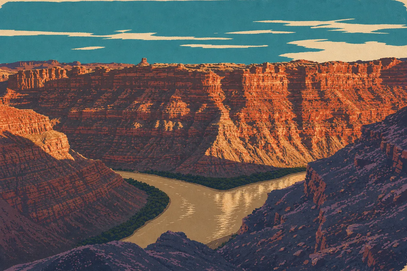
Canyonlands Itinerary: What to See in 1, 2, or 3 Days
Canyonlands is Utah's largest national park, with more than 500 square miles of plateau carved by the Colorado River and the Green River. It's also the park with the fewest road connections. Its three districts aren't connected by road, so getting from one to another means leaving the park, returning to Moab, and taking a different road. That's not a drawback. It's the layout you need to understand before planning your visit.
Quick answer: two days let you explore the two districts accessible by car, Island in the Sky and The Needles, in real depth. One day is enough for an overview of Island in the Sky. Three days open the door to longer hikes and sites away from the marked trails.
How Much Time Do You Need to Visit Canyonlands?
The answer depends directly on which district you're targeting. Island in the Sky, the northern mesa suspended about 1,000 feet above the rivers, takes a full day to explore. Allow 40 minutes from Moab via UT 313. The Needles, in the southeast, deserves a full day of its own, ideally with a night nearby so you can hit the trails at dawn. The Maze, to the west, is another story. It's accessible only by 4WD, requires a specific wilderness permit, and takes several days to explore. It isn't part of the standard itinerary.
Our recommendation is at least two to three days if you don't want to leave feeling like you only saw the park through a windshield. If you've got just one day, spend all of it in Island in the Sky.
To choose your travel window based on temperatures and crowds, check Canyonlands seasonal guide.
Access, Entrances, and Getting Around the Park
The first thing to understand is that you can't drive across Canyonlands. Each district is a separate road dead end.
Island in the Sky is accessible from Moab via UT 313, about 40 minutes away. The Needles is nearly two hours from Moab, via southbound US 191 and UT 211. The Maze requires either the Mineral Bottom Road or Hans Flat Road. Expect several hours on dirt roads, a serious 4WD vehicle, and solid off-road navigation skills.
The park has no shuttle connecting the districts. Your vehicle is your main way to get around. In Island in the Sky, the main paved road leads to Grand View Point, with a turnoff west to Upheaval Dome. In The Needles, the road ends at Squaw Flat, the starting point for most trails.
The entrance fee is $30 per vehicle, $25 for a motorcycle, or $15 per person arriving on foot or by bike. The park's annual pass costs $55. The $80-a-year America the Beautiful pass covers all federal recreation sites and pays for itself after two or three visits to different parks. For access roads and transportation options, see how to get to Canyonlands.
Canyonlands Districts
Island in the Sky: A Balcony Over the Endless
Island in the Sky is a mesa that projects like a peninsula between the canyons of the Colorado River and the Green River. The sense of looking out over the landscape is immediate. From Mesa Arch, a 10-minute walk from the parking area, you can see for dozens of miles across the eroded plateau below. At sunrise, light passes beneath the arch and turns the rock formations burnt orange. It's one of Utah's most photographed scenes, and when I visited in October, the parking area was full at 6:30 a.m. Get there early.
Viewpoints follow one another along the main road: Green River Overlook, Buck Canyon Overlook, and Grand View Point, the end of the road with a 360-degree view. Upheaval Dome, reached by a western turnoff, is a geological puzzle. Was it a meteorite impact or a collapsed salt dome? Scientists still debate it. The two overlooks take 20 and 45 minutes to reach on foot, respectively.
The Needles: A Sandstone Maze
The Needles takes its name from the striped red-and-white sandstone towers scattered across this southeastern district. The atmosphere is more intimate and grounded. You're no longer standing on a cliff edge looking down. You're in the landscape, surrounded by the formations.
There are plenty of well-marked trails here. Chesler Park and the Joint Trail are the signature routes. Chesler Park opens onto a meadow ringed by sandstone towers, while the Joint Trail passes through a crack so narrow that you'll have to take off your backpack to get through. It's a memorable experience. For a shorter option, the Pothole Point Trail is a flat 1.5-mile route along natural basins carved into the rock. After rain, they turn into tiny ecosystems.
The Maze: For Well-Equipped Adventurers
You don't head into The Maze on a whim. You'll need a 4WD vehicle, a wilderness permit, enough water for several days, and serious off-road navigation experience. We don't include it in this standard itinerary. If it appeals to you, the Canyonlands camping guide covers backcountry options and permit requirements.
Day-by-Day Itinerary
Day 1: Island in the Sky, from Mesa Arch to Grand View Point
Leave Moab before sunrise. Mesa Arch lights up with the first rays. In summer, the parking area is already busy by 6 a.m. Ten minutes on foot, and you have a view that stays with you. After Mesa Arch, stop at the visitor center to pick up a free map and map out your day.
Then follow the road south to Grand View Point. It's 9.3 miles of paved road from the entrance, with stops at Buck Canyon Overlook and Green River Overlook. At Grand View Point, a mostly flat trail runs for about 1.9 miles round-trip along the mesa rim above the void. Allow an easy hour.
In the afternoon, continue west to Upheaval Dome. The first overlook takes 20 minutes, and the second requires another 45 minutes. The site is less crowded later in the day.
Dinner and overnight in Moab.
Day 2: The Needles, Chesler Park, and the Joint Trail
Leave early from Moab. The drive takes about two hours. Arrive at Squaw Flat around 9 a.m. The Chesler Park Loop is about 12 miles long. It combines a walk through the meadow surrounded by needles, the passage through the Joint Trail, and a return along a ridge trail. Allow 5 to 7 hours, depending on your pace.
If you'd rather take a shorter hike, Pothole Point Trail is a spectacular alternative. It's 1.5 miles with little elevation gain.
Ideally, camp in The Needles district so you can skip the round trip to Moab. Our Camping page details the available sites and reservations through Recreation.gov.
Day 3: Go Deeper or Explore at Your Own Pace
If you've got a second night in The Needles, day three gives you time to tackle the longer trails at Elephant Hill or return to Island in the Sky for viewpoints you missed, such as Aztec Butte and White Rim Overlook. If you're heading back toward Moab, plan a stop at Dead Horse Point State Park along the way. It's a 15-minute detour from UT 313 and offers one of the region's most photographed views of the Colorado River's meanders.
Variations Based on Your Time
Express (1 day): Island in the Sky only. Mesa Arch at sunrise, Grand View Point in midmorning, and Upheaval Dome in the afternoon. You'll cover the main viewpoints without taking on a strenuous hike.
Classic (2 days): A full day in Island in the Sky, followed by a day in The Needles with Chesler Park or Pothole Point. This format covers both districts accessible by car and gives you a real sense of the park.
Regional road trip (3 days or more): Day 1 in Island in the Sky, day 2 in The Needles with an overnight stay, and day 3 at Dead Horse Point before returning toward Arches National Park. You could also spend day three around Moab on mountain bike trails if you've got the right wheels.
To combine Canyonlands with other regional parks, including Arches, Capitol Reef, and Bryce Canyon, our Road Trip guides offer multi-park routes with recommended timing and stops.
Itinerary Map
The NPS gives out a free paper park map at the entrance station. It's enough for driving and marked trails. For hiking in backcountry areas such as Elephant Hill and off-trail routes in The Needles, a 1:24,000 topographic map is recommended. Official GPX files can be downloaded from the NPS website.
Keep this in mind when using the official maps: the three districts are clearly separated, and there are no internal road connections. The Canyonlands map gives an overview of the districts, roads, and main viewpoints.
Where to Stay Along the Itinerary
Moab is the main base for Island in the Sky, 40 minutes away by car. A day trip to The Needles from Moab is possible but tiring. Camping in the district is by far the most comfortable option if you want to hit the trails early.
Our Canyonlands lodging guide covers hotels, lodges, and campgrounds around Moab, along with when they're available. Our Camping page goes into detail about the campsites inside the park.
Extend Your Trip: What to See Around Canyonlands
Dead Horse Point State Park should be your priority if you're coming through Island in the Sky. From this plateau a few miles from the national park's northern entrance via UT 313, you get one of the region's most spectacular views of the Colorado River winding through the canyons. It's less crowded than Island in the Sky and deserves an hour or two as an add-on.
Arches National Park is 45 minutes north of Moab. If you're visiting Canyonlands, skipping Arches would be a mistake. The two offer complementary experiences: mesa and open canyon country in one, arches and sandstone towers in the other.
For a deeper look at the region, including Bears Ears National Monument, Capitol Reef, and Monument Valley, our regional guides provide distances and recommended routes.
The Ideal Itinerary for Your Time
One day: Island in the Sky, with Mesa Arch at sunrise and Grand View Point. You'll see the best of Canyonlands in a condensed format.
Two days: Add The Needles and Chesler Park. You'll understand why this park feels different from the others. It isn't just about views from above. It's also about crossing the landscape on foot.
Three days or more: Spend more time on the trails, stay overnight, and continue on to Dead Horse Point and Arches. Canyonlands has a reputation as the park people leave saying they didn't see it all. Three days make a difference.
Frequently Asked Questions
How long does it take to drive across Canyonlands?
You can't literally drive across Canyonlands. The three districts aren't connected by an internal road. You can tour Island in the Sky by car in 2 to 3 hours round-trip from the entrance to Grand View Point, with stops at the overlooks. The Needles is a completely separate drive from Moab, with no road connection to Island in the Sky.
What's the best scenic drive in Canyonlands National Park?
The main road through Island in the Sky is the park's most accessible scenic drive. It connects the district entrance to Grand View Point for about 9.3 miles, with several successive overlooks of the Colorado River and the Green River canyons. White Rim Road is the signature route for 4WD and mountain-bike adventurers. This 100-mile dirt road circles the mesa below the cliffs and requires a wilderness permit.
What's the best itinerary for visiting the national parks of the American West?
The classic Utah route links Zion, Bryce Canyon, Capitol Reef, Canyonlands, and Arches, the "Mighty Five." Canyonlands fits between Capitol Reef and Arches, with Moab as a natural base. Our Road Trip guides lay out the route, recommended timing, and lodging options.
What's the famous road in Canyonlands?
White Rim Road is Canyonlands' signature route. This 100-mile dirt road circles the Island in the Sky mesa below the cliffs. It's accessible only by 4WD or mountain bike and takes 2 to 3 days to complete with a wilderness permit. For current access conditions and permit details, see our Access & Transportation page.
How much does it cost to enter Canyonlands?
Admission to the park costs $30 per vehicle, $25 per motorcycle, or $15 per person arriving on foot or by bike. The park-specific annual pass costs $55. The $80-a-year America the Beautiful Pass covers all U.S. federal parks and recreation sites and pays for itself after visiting two or three parks in the same period. For entrance fees and annual passes, see the National Park Fees & Passes page.
When is the best time to visit Canyonlands?
The best times to visit Canyonlands are spring, from April through May, and fall, from mid-September through October, with daytime temperatures between 59 and 81°F. Summer temperatures often exceed 100°F, making hikes demanding. Winter is cold, with highs between 32 and 50°F and nights sometimes dropping below 5°F. Our When to Go page covers the advantages and challenges of each season in detail.
Is Canyonlands worth visiting?
Canyonlands is worth the trip if you're looking for something beyond Utah's postcard parks. It's less developed than Arches or Zion and more rugged, offering a different way to experience the Colorado Plateau. It requires a little more physical and logistical commitment, but that's exactly what makes it memorable. Our complete Canyonlands guide is the place to start planning your stay.