
Hot Springs Itinerary: What to See in 1, 2, or 3 Days
Hot Springs National Park is an anomaly among America’s national parks. There’s no entrance gate and no endless wilderness. Instead, you’ll find a spa town in the middle of Arkansas, with Neoclassical bathhouses, natural springs at 144°F, and five small wooded mountains surrounding Central Avenue. It’s the only U.S. national park layered over a historic urban area, and that distinction completely changes how you approach it.
The short answer. One day is enough to cover the essentials: Bathhouse Row, Fordyce Bathhouse (the free Fordyce Bathhouse Visitor Center and Museum), the Grand Promenade, and a climb up Hot Springs Mountain. With two days, add the trails and a soak at one of the bathhouses still in operation. With three days, slow down, enjoy the town, and head out to the nearby lakes.
How Long Do You Need to Visit Hot Springs?
The answer depends on what you’re looking for.
The historic bathhouse district, Bathhouse Row, is easy to explore on foot in half a day. Many visitors stop there and leave convinced they’ve seen the park. They’ve only seen half of it. The other half is about 26 miles of trails climbing through the oak and hickory forests of Hot Springs Mountain, West Mountain, and North Mountain. These trails see far fewer visitors than Bathhouse Row. This is where the park feels wild again.
Our recommendation:
- 1 full day to explore the park at a brisk pace, covering both the bathhouses and the natural areas.
- 2 days to include a proper soak and a longer hike.
- 3 days to travel without rushing and add a detour to the lakes.
Spring (March through May) and fall (September through November) remain the most pleasant seasons. Summer heat indexes can rise above 109°F. Our When to Go page breaks down the monthly averages.
Access, Entrances, and Getting Around the Park
Hot Springs National Park has no entrance station. There’s no admission fee, either. You enter the park by arriving on Central Avenue, gradually and much as you would enter any other town.
From Little Rock (about 56 miles west): take I-30 toward Texarkana, exit at Exit 111 for US 70W / Hot Springs, then take Spring Street and Central Avenue north. The park becomes more apparent on your right after Reserve Street.
From Texarkana (about 106 miles east): take I-30 toward Little Rock, exit onto AR-7, then continue toward Hot Springs along the Ouachita National Forest.
There’s no internal shuttle. You can explore the Bathhouse Row area entirely on foot from any Central Avenue parking lot. For the higher areas, a car is more convenient. The roads to Hot Springs Mountain, North Mountain, and West Mountain are open to vehicles from 8 a.m. to 10 p.m. Hiking trails are accessible from 5 a.m., while the Grand Promenade and Bathhouse Row sidewalks close at 10 p.m.
Parking downtown is paid. Bus connections from Little Rock and electric vehicle charging stations are covered in the Hot Springs access guide.
The Areas of Hot Springs
The park is divided into five areas, each with its own character.
Bathhouse Row and Central Avenue
This is the obvious place to start. Eight bathhouses built between 1892 and 1923 line the west side of Central Avenue, in styles ranging from restrained Neoclassical to flamboyant eclecticism. Two are still operating. Buckstaff Bathhouse, in continuous operation since 1912, offers a traditional bath in the historic tubs. The renovated Quapaw Baths & Spa offers a contemporary experience with hot tubs and treatments.
Fordyce Bathhouse (1915) now houses the Fordyce Bathhouse Visitor Center and Museum. Admission is free. The original treatment rooms have been preserved, and the visit gives you a precise sense of what a spa treatment involved in the early 20th century. It’s the first stop on any Hot Springs itinerary.
The Grand Promenade
Behind Bathhouse Row, a 0.9-mile brick promenade follows the slope of Hot Springs Mountain beneath the oaks. It follows the historic route used by bathhouse visitors and connects several marked thermal springs. The water emerges from the source at about 144°F. A few fountains let you collect it in a container, but let it cool before drinking. The promenade itself is nearly level. It links the urban district with the mountain trails.
Hot Springs Mountain
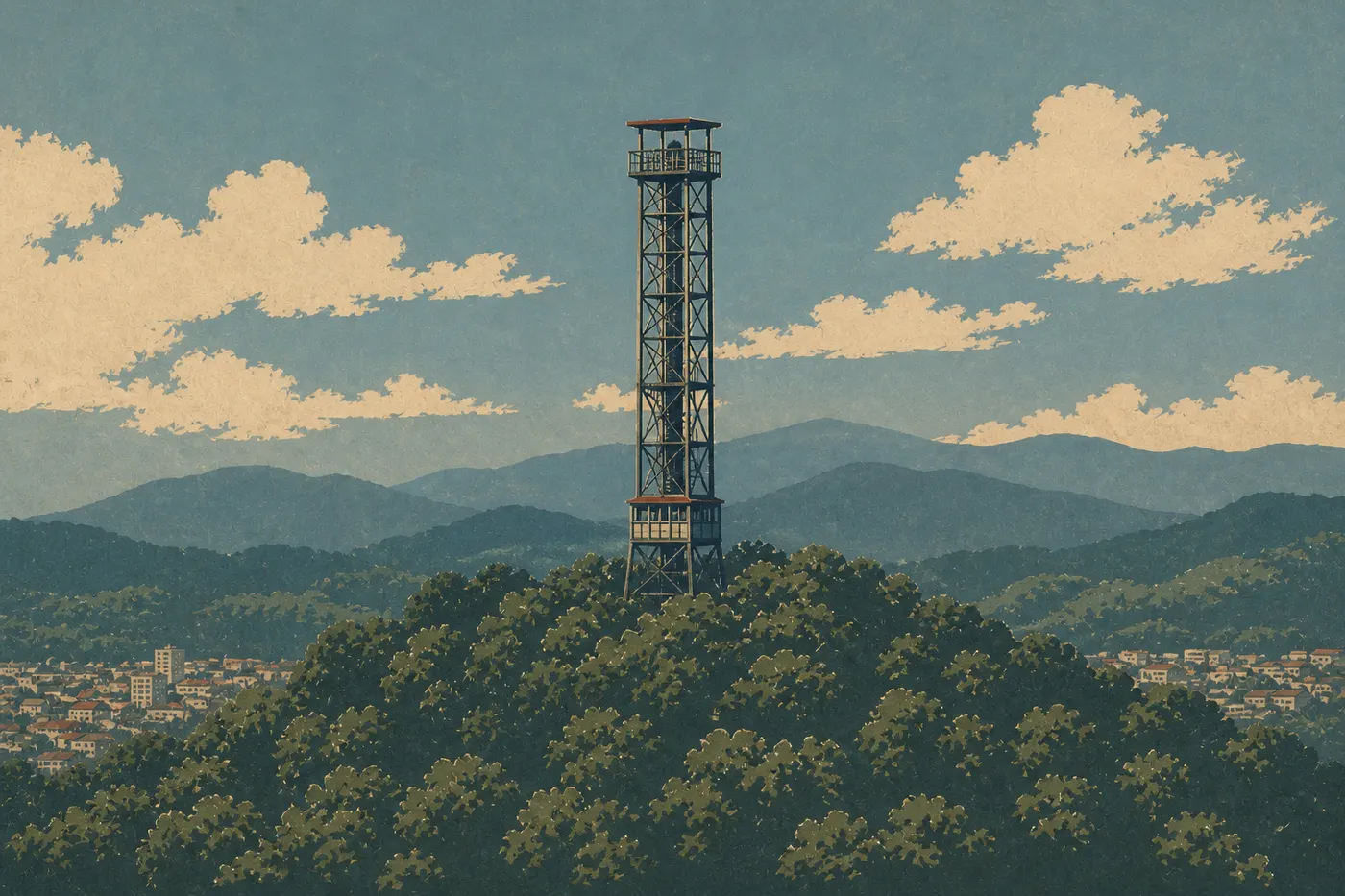
This northern area of the park is accessible on foot from the Grand Promenade or by car via Hot Springs Mountain Drive. Hot Springs Mountain Tower, operated by a private company with a separate admission fee, rises 217 feet above the ridge and offers 360-degree views of the Ouachita forest and the town.
The Hot Springs Mountain Trail is a 1.6-mile loop from the Grand Promenade. It climbs through mixed forest alongside marked springs. It’s accessible, well maintained, and short enough to fit into a busy itinerary, making it an ideal introductory hike.
West Mountain and North Mountain
These two areas are quieter and see far fewer visitors. West Mountain Summit offers views over the southern part of town and Lake Oden. North Mountain is crossed by the Dead Chief Trail, an easy hike of about 1.2 miles round-trip that quickly leaves the noise of Central Avenue behind.
The two summits connect to each other and to Hot Springs Mountain via the Sunset Trail, the park’s major trail. It covers 10 miles across the entire mountain range. The signs are reliable, and although a few sections are strenuous, there’s no technical difficulty. Our Hiking page describes elevation profiles by area and the available trailheads.
Day-by-Day Itinerary
Day 1: Bathhouse Row, the Grand Promenade, and Hot Springs Mountain
Arrive on Central Avenue before 9 a.m. to find parking easily. Start at Fordyce Bathhouse. The NPS ranger-led tour takes about 45 minutes and puts the site in context. Don’t miss the treatment room in the basement, the gymnasium with its rooftop views, and the original copper plumbing.
Walk north along Bathhouse Row, taking in the facades one by one. If you’ve booked a bath at Buckstaff, a morning appointment works well. Allow one to 1.5 hours, depending on the package. Booking ahead is strongly recommended during the busy season.
After lunch on Central Avenue, where cafés and restaurants are plentiful and easy to reach on foot, walk uphill to the Grand Promenade. The stroll takes 30 to 40 relaxed minutes. Continue onto the Hot Springs Mountain Trail and allow 45 minutes for the full loop from the bottom of the promenade.
In the late afternoon, walk or drive up to Hot Springs Mountain Tower for sunset. When we visited in October, the low light turned the ridges of the Ouachita forest into waves of copper and gold. It was genuinely striking. The tower stays open until 10 p.m. in summer, so you have time to wait for the golden light.
Day 2: Trails, Elevation, and the Lower Town
Set out early, before 8 a.m. if possible, to enjoy the trails before the heat. The West Mountain section of the Sunset Trail, 3 to 4 miles round-trip from the West Mountain Summit parking area, is a good compromise. The oak forest is dense, the trail is well maintained, and the summit overlooks Lake Oden.
If you want a longer morning, the Dead Chief Trail from North Mountain adds 1.2 miles in an even quieter area. These trails are lightly used during the week. You’ll mostly pass local regulars out for their morning run.
Spend the afternoon in the lower town. Hot Springs has an active arts district around a few streets parallel to Central Avenue, along with restaurants worth seeking out for a town this size. Our Where to Eat page lists the spots we recommend without hesitation.
Day 3: Baths, Lake Hamilton, and a Spa-Town Pace
Make the third day your chance to slow down. If you haven’t tried the spa experience yet, start with a morning session at Quapaw Baths & Spa. Allow two hours for the full package. Then head up to North Mountain Summit for a different view from the one you saw the day before.
In the afternoon, drive 15 minutes south to Lake Hamilton. This reservoir on the Ouachita River offers kayak and pedal-boat rentals. Pines and oaks line the shores, extending the mountains’ forested atmosphere. It’s outside the national park’s strict boundaries, but it’s a natural addition to a Hot Springs stay. Our complete guide points out rental companies and public shoreline access.
Options for Different Lengths of Stay
Express (less than 4 hours). Fordyce Bathhouse, the Grand Promenade, and a thermal spring along the promenade. On foot, without a car or reservation. Enough to get a feel for the site’s thermal and historic identity.
Classic (1 to 2 days). The Day 1 and Day 2 plans cover the park’s essentials at a comfortable pace. For families with young children, our Family page offers route adjustments and appropriate safety tips.
Regional road trip (4 to 7 days). Hot Springs fits naturally into an Arkansas road trip. From the park, you can reach Petit Jean State Park (50 miles north, with waterfalls and red cliffs), the Buffalo National River (124 miles north, the first national river in the United States, designated in 1972), and the Crystal Bridges Museum of American Art in Bentonville (155 miles northwest). Our Road Trips and Regions guides will offer detailed routes for combining these stops.
Itinerary Map
The NPS publishes an official Unigrid map, available free at Fordyce Bathhouse. It shows the five mountain areas, trail routes, marked thermal spring locations, and high-elevation roads. Our Map page offers an annotated version with distances and estimated times for each section.
Where to Stay Along the Itinerary
Hot Springs has every type of lodging. You’ll find historic hotels on or near Central Avenue, motels at the edge of town, and vacation rentals on Lake Hamilton and Lake Catherine. There’s no lodge inside the national park. Camping is possible in the Ouachita National Forest’s wooded areas on the outskirts. Our Where to Stay page breaks down the options by budget, with a selection of hotels & lodges for travelers who want to stay just steps from Bathhouse Row. Travelers in RVs will find information on hookups and permitted sites nearby on our RV Camping page.
Extend Your Trip: What to See Around Hot Springs
The Ouachita Mountains remain little known to most American tourists, making them pleasant to explore without crowds. To the north, Petit Jean State Park offers waterfalls and views over the Arkansas Valley. To the northeast, the Buffalo National River is the go-to area for kayaking and hiking in the south-central United States. To the west, the Ouachita National Forest covers more than 1.7 million acres and offers dispersed camping that the national park can’t provide on its own.
Our regional guides cover these extensions and suggest combined itineraries for travelers spending a week or more in the area.
The Ideal Itinerary for Your Available Time
| Available time | Plan | What you’ll take away |
|---|---|---|
| Less than 4 hours | Fordyce + Grand Promenade | The thermal and historic identity |
| 1 full day | + Hot Springs Mountain + trail | The park’s two sides |
| 2 days | + Trails + thermal bath | The complete experience |
| 3 days or more | + Lakes + town + extensions | A true spa-town pace |
The park is open year-round. Our Weather page and When to Go page provide monthly averages and periods to avoid, especially summer heat waves when heat indexes can rise above 109°F.
Frequently Asked Questions
How many days do I need at Hot Springs National Park?
Allow a full day for Bathhouse Row, Fordyce Bathhouse, the Grand Promenade, and a hike on Hot Springs Mountain. Two days let you add a thermal bath and the West Mountain or North Mountain trails. Three days give you the pace of a true spa getaway, including the nearby lakes.
What’s the best time of year to visit Hot Springs?
The best times to visit Hot Springs are spring (March through May) and fall (September through November). Temperatures generally stay between 59°F and 77°F, and rainfall is moderate. Summers are hot and humid, with heat indexes that can rise above 109°F. Winters are mild, but wind chills can drop to 16°F during cold snaps. Our Weather page breaks down the monthly averages.
What do people do in Hot Springs?
Visitors mainly come for Bathhouse Row and its thermal history: a free visit to Fordyce Bathhouse, a bath at one of the operating bathhouses (Buckstaff or Quapaw), and a walk along the Grand Promenade. Many add a hike on Hot Springs Mountain or the Sunset Trail. The town itself, with its galleries and restaurants, is an essential part of the stay. Our Things to Do page lists all the activities by type and available time.
Is Hot Springs National Park free?
Admission to Hot Springs National Park is free. Some attractions operated by private companies, such as Hot Springs Mountain Tower, charge a separate admission fee. Thermal baths at Buckstaff and Quapaw cost extra and require reservations.
Can you drive through Hot Springs?
Yes. Central Avenue is an urban road open to traffic from south to north. The roads to the summits of Hot Springs Mountain, North Mountain, and West Mountain are open to vehicles from 8 a.m. to 10 p.m. There are no tolls, mandatory checkpoints, or sections reserved exclusively for pedestrians.